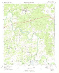
1972 Map of Kingston
USGS Topo · Published 1974About this map
Kingston serves as a central hub in this early 1970s topographical record of Bartow County, where the Louisville and Nashville railroad tracks parallel the Etowah River. The landscape is a complex network of water and early infrastructure, featuring the meandering Euharlee Creek and its notable Covered Bridge. Further south, the small settlement of Euharlee sits near the river's bend, while Five Forks marks a rural intersection to the southwest.
Find a feature on this map
50 named features on this map. Tap any name to fly to it.
Don’t see what you’re looking for? This feature index may not catch every label — zoom into the map to look around manually.
Map Details
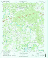
Editions of this 1972 Kingston Map
2 editions found
Other maps of this area

1886 · Rome
USGS Topo · 1:125,000

1890 · Cartersville
USGS Topo · 1:125,000

1891 · Cartersville
USGS Topo · 1:125,000

1896 · Cartersville
USGS Topo · 1:125,000

1898 · Rome
USGS Topo · 1:125,000

1899 · Rome
USGS Topo · 1:125,000

1904 · Rome
USGS Topo · 1:125,000

1906 · Stilesboro
USGS Topo · 1:62,500

1908 · Stilesboro
USGS Topo · 1:62,500

1941 · Adairsville
USGS Topo · 1:62,500