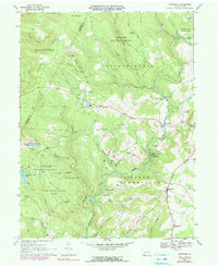
1967 Map of Kingwood
USGS Topo · Published 1990About this map
Laurel Hill dominates the terrain of this Somerset County landscape, where the high ridges of Forbes State Forest and State Game Lands No 111 give way to the deep valleys of Middle Creek and Laurel Run. The area reflects a rural economy shaped by natural resources, marked by numerous strip mines and gravel pits interspersed with small agricultural settlements. In the late 1960s, the community of Kingwood served as a local hub near Kingwood Sch, while smaller hamlets like Scullton and Barronvale were connected by winding roads that crossed the creeks via several covered bridges. Spiritual and social life centered on landmarks such as Wesley Chapel and the Old Bethel Ch. Recreational features like Lake Pyle, Clairton Lake, and the Kings Mtn Country Club highlight the transition toward seasonal and outdoor use of the forested uplands.
Find a feature on this map
53 named features on this map. Tap any name to fly to it.
Don’t see what you’re looking for? This feature index may not catch every label — zoom into the map to look around manually.
Map Details
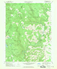
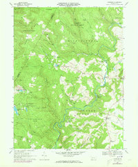
Editions of this 1967 Kingwood Map
3 editions found
Other maps of this area

1913 · Somerset
USGS Topo · 1:62,500

1915 · Somerset
USGS Topo · 1:62,500

1921 · Meyersdale
USGS Topo · 1:62,500

1922 · Confluence
USGS Topo · 1:62,500

1922 · Donegal
USGS Topo · 1:62,500

1931 · Confluence
USGS Topo · 1:62,500

1933 · Confluence
USGS Topo · 1:62,500

1935 · Donegal
USGS Topo · 1:62,500

1939 · Meyersdale
USGS Topo · 1:62,500

1944 · Somerset
USGS Topo · 1:62,500
Featured Places
- Springfield Township, PA
- Saltlick Township, PA
- Upper Turkeyfoot Township, PA
- Lower Turkeyfoot Township, PA
- Metzler, Upper Turkeyfoot Township