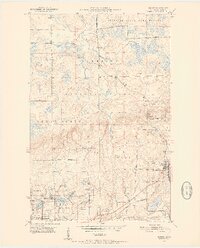
1951 Map of Kinney
USGS Topo · Published 1952About this map
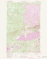
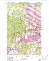
The Laurentian Divide cuts across this mid-century survey of the Mesabi Range, marking the geographic boundary between the Hudson Bay and Lake Superior watersheds. This industrial landscape is defined by extensive open-pit mining operations, featuring the Atkins Mine, Wade Mine, and the Forsyth Mine (Inactive). The iron-rich corridor is served by the Duluth Missabe and Iron Range and Great Northern railroads, which weave through the settlements of Kinney, Buhl, and Mountain Iron. Beyond the mine dumps and excavations, the northern half of the sheet transitions into the Superior National Forest and the Superior State Game Refuge, where the Dark River flows through wetlands. Local landmarks like the Anderson Sch and the small siding at Lucknow provide clear touchpoints for genealogists researching the families and workers who populated these mining towns during the region's industrial peak.
Find a feature on this map
32 named features on this map. Tap any name to fly to it.
Don’t see what you’re looking for? This feature index may not catch every label — zoom into the map to look around manually.
Map Details
Editions of this 1951 Kinney Map
7 editions found
Other maps of this area

1951 · Eveleth
USGS Topo · 1:24,000

1951 · Virginia
USGS Topo · 1:24,000

1951 · Kinney
USGS Topo · 1:24,000

1951 · Kirk
USGS Topo · 1:24,000

1951 · Britt
USGS Topo · 1:24,000

1951 · Buhl
USGS Topo · 1:24,000

1952 · Idington
USGS Topo · 1:24,000

1954 · Hibbing
USGS Topo · 1:250,000

1955 · Dark Lake
USGS Topo · 1:24,000

1955 · Dewey Lake SE
USGS Topo · 1:24,000