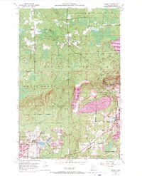
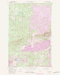
1951 Map of Kinney
USGS Topo · Published 1971About this map
The Laurentian Divide cuts across this section of the Mesabi Iron Range, separating the northern wilderness from the intensive mining operations to the south. In the early 1950s, the landscape around Kinney and Buhl was defined by a dense network of open pits and industrial infrastructure, including the Atkins Mine, Whiteside Mine, and Seville Midway Mine. Extensive Mine Dumps and Tailings Ponds illustrate the massive scale of earth-moving required to extract ore during this peak period of Minnesota's iron industry. North of the divide, the terrain transitions into the Superior National Forest and the Superior State Game Refuge, where the Dark River flows through undeveloped wetlands. This contrast captures the dual nature of St. Louis County at mid-century, where the Burlington Northern railroad serviced industrial hubs like Mountain Iron just miles away from protected forest lands.
Find a feature on this map
28 named features on this map. Tap any name to fly to it.
Don’t see what you’re looking for? This feature index may not catch every label — zoom into the map to look around manually.
Map Details
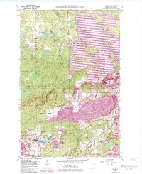
Editions of this 1951 Kinney Map
7 editions found
Other maps of this area

1951 · Eveleth
USGS Topo · 1:24,000

1951 · Virginia
USGS Topo · 1:24,000

1951 · Kinney
USGS Topo · 1:24,000

1951 · Kirk
USGS Topo · 1:24,000

1951 · Britt
USGS Topo · 1:24,000

1951 · Buhl
USGS Topo · 1:24,000

1952 · Idington
USGS Topo · 1:24,000

1954 · Hibbing
USGS Topo · 1:250,000

1955 · Dark Lake
USGS Topo · 1:24,000

1955 · Dewey Lake SE
USGS Topo · 1:24,000