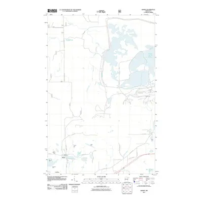
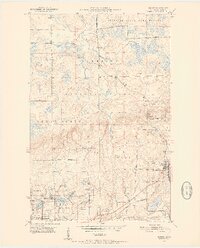
1951 Map of Kinney
USGS Topo · Published 1977About this map
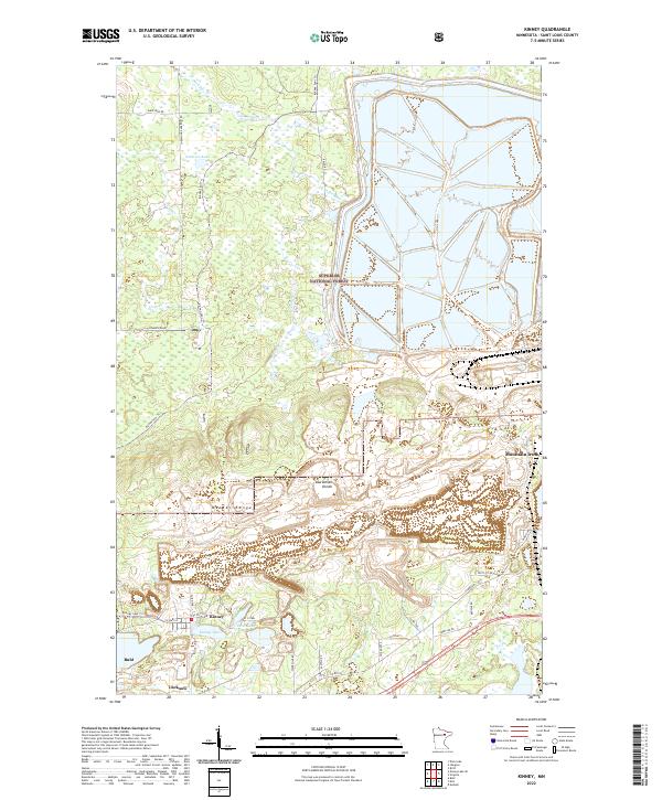
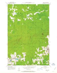
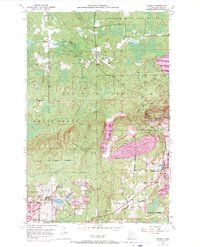
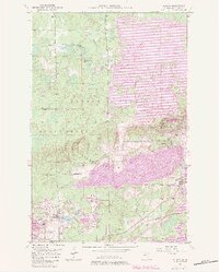
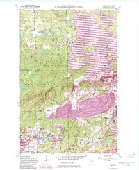
The Laurentian Divide cuts through this portion of the Mesabi Range, separating the northern and southern drainage basins during a period of intense industrial activity. In the southern half of the quadrangle, the landscape is defined by the massive excavation footprints of the Atkins Mine, Whiteside Mine, and Wanless Mine. Vast areas designated as Tailings and Mine Dump surround the settlements of Kinney and Buhl, illustrating the sheer scale of earthmoving required by the iron industry. The Duluth Missabe and Iron Range railroad provides the essential link between these mines and the wider region. North of the mining corridor, the terrain transitions into the protected timberlands of the Superior National Forest and the Superior State Game Refuge, where the Dark River and Slow Creek flow through less disturbed woods. Small local landmarks like the Anderson Sch and the hamlet of Lucknow offer points of interest for genealogists tracing families in this industrial heartland.
Find a feature on this map
31 named features on this map. Tap any name to fly to it.
Don’t see what you’re looking for? This feature index may not catch every label — zoom into the map to look around manually.
Map Details
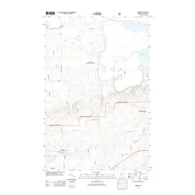
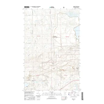
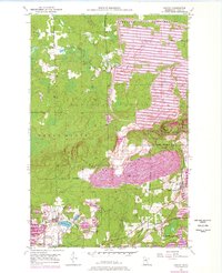
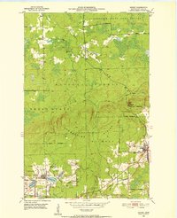
Editions of this 1951 Kinney Map
7 editions found
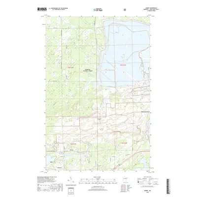
Historical Maps of Mountain Iron Through Time
6 maps found