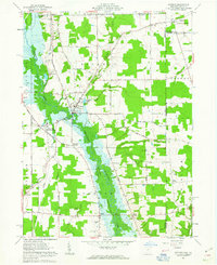
1961 Map of Kinsman
USGS Topo · Published 1963About this map
Pymatuning Creek and the emerging Shenango River Reservoir dominate this eastern Ohio landscape, showing the region as it transitioned with the expansion of water management projects in the early 1960s. The settlement of Kinsman serves as a local hub, situated near the headwaters of Kinsman Lake and the confluence of numerous rural roads like Kinsman Road and State Road. Further south, the New York Central RR tracks run through Farmdale (Kinsman Sta), highlighting the historical importance of rail transport for Trumbull County dairy and agricultural goods.
Find a feature on this map
70 named features on this map. Tap any name to fly to it.
Don’t see what you’re looking for? This feature index may not catch every label — zoom into the map to look around manually.
Map Details
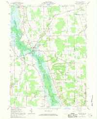
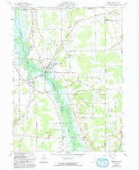
Editions of this 1961 Kinsman Map
Other maps of this area

1905 · Andover
USGS Topo · 1:48,000

1906 · Linesville
USGS Topo · 1:62,500

1907 · Andover
USGS Topo · 1:62,500

1907 · Kinsman
USGS Topo · 1:62,500

1908 · Shenango
USGS Topo · 1:62,500

1908 · Linesville
USGS Topo · 1:62,500

1950 · Cleveland
USGS Topo · 1:250,000

1956 · Cleveland
USGS Topo · 1:250,000

1958 · Sharpsville
USGS Topo · 1:24,000

1958 · Greensville West
USGS Topo · 1:24,000