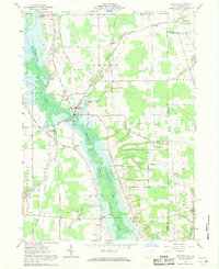
1961 Map of Kinsman
USGS Topo · Published 1970About this map
The Shenango River Reservoir dominates this landscape along the Ohio and Pennsylvania border, with blue hatching indicating land destined for submergence as part of a controlled inundation project. The village of Kinsman serves as a local hub, situated near Kinsman Lake and the Badger High Sch. For genealogists and local historians, the map identifies several smaller settlements and family-named intersections such as Mayburn Corners, Stulls Corners, and Biggin Corners, alongside local landmarks like Giddings Ch and Rocky Ridge Cem.
Find a feature on this map
45 named features on this map. Tap any name to fly to it.
Don’t see what you’re looking for? This feature index may not catch every label — zoom into the map to look around manually.
Map Details
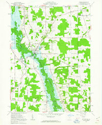
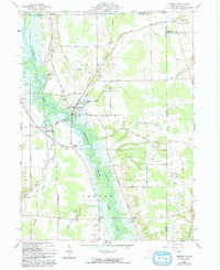
Editions of this 1961 Kinsman Map
Other maps of this area

1905 · Andover
USGS Topo · 1:48,000

1906 · Linesville
USGS Topo · 1:62,500

1907 · Andover
USGS Topo · 1:62,500

1907 · Kinsman
USGS Topo · 1:62,500

1908 · Shenango
USGS Topo · 1:62,500

1908 · Linesville
USGS Topo · 1:62,500

1950 · Cleveland
USGS Topo · 1:250,000

1956 · Cleveland
USGS Topo · 1:250,000

1958 · Sharpsville
USGS Topo · 1:24,000

1958 · Greensville West
USGS Topo · 1:24,000