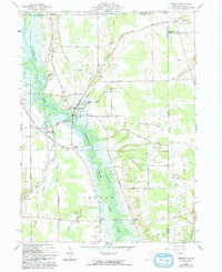
1961 Map of Kinsman
USGS Topo · Published 1993About this map
Kinsman serves as the hub of this Ohio-Pennsylvania borderland, where the New York Central rail line once connected rural outposts like Farmdale (Kinsman Sta) and Barclay. The map documents a landscape in transition as the Shenango River valley prepared for the rising waters of Pymatuning Lake. Notable blue-hatching across the river corridor indicates planned inundation areas, capturing the precise footprint of the valley floor before these engineering changes. Family-named crossroads such as Mayburn Corners, Stulls Corners, and Biggin Corners dot the landscape alongside community fixtures like Badger High Sch and several remote burial grounds, including Rocky Ridge Cem and Giddings Cem. The survey further reveals the agricultural and industrial patterns of the early 1960s, from a Sand and Gravel Pit near the railroad to the wooded banks of Pymatuning Creek.
Find a feature on this map
55 named features on this map. Tap any name to fly to it.
Don’t see what you’re looking for? This feature index may not catch every label — zoom into the map to look around manually.
Map Details
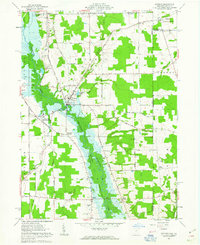
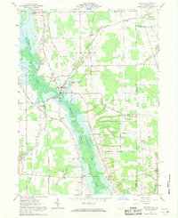
Editions of this 1961 Kinsman Map
Other maps of this area

1905 · Andover
USGS Topo · 1:48,000

1906 · Linesville
USGS Topo · 1:62,500

1907 · Andover
USGS Topo · 1:62,500

1907 · Kinsman
USGS Topo · 1:62,500

1908 · Shenango
USGS Topo · 1:62,500

1908 · Linesville
USGS Topo · 1:62,500

1950 · Cleveland
USGS Topo · 1:250,000

1956 · Cleveland
USGS Topo · 1:250,000

1958 · Sharpsville
USGS Topo · 1:24,000

1958 · Greensville West
USGS Topo · 1:24,000