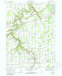
1969 Map of Kipton
USGS Topo · Published 1986About this map
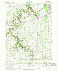
The Vermilion River snakes through the western portion of this Lorain County landscape, carving a deep, winding valley that contrasts with the surrounding agricultural tablelands. In the late 1960s, this area remained largely rural, anchored by small settlements like Birmingham, Henrietta, and Kipton. Evidence of the region’s specialized land use is visible in features such as the Firelands Reservation and Camp Timberline, alongside industrial and transportation infrastructure including the Ohio Turnpike and several active quarries. Local aviation is represented by Oztner Airport and Oberlin Airport, while the Penn Central tracks provide a vital rail link across the southern section. Genealogists will find several notable burial grounds, including Township Cem and Camden Cem, as well as the Firelands High Sch campus serving the local community during this era of post-war suburban transition.
Find a feature on this map
61 named features on this map. Tap any name to fly to it.
Don’t see what you’re looking for? This feature index may not catch every label — zoom into the map to look around manually.
Map Details
Editions of this 1969 Kipton Map
2 editions found
Other maps of this area

1901 · Oberlin
USGS Topo · 1:62,500

1903 · Vermilion
USGS Topo · 1:62,500

1903 · Oberlin
USGS Topo · 1:62,500

1904 · Wellington
USGS Topo · 1:62,500

1906 · Wellington
USGS Topo · 1:62,500

1908 · New London
USGS Topo · 1:62,500

1956 · Toledo
USGS Topo · 1:250,000

1959 · Berlin Heights
USGS Topo · 1:24,000

1959 · Vermilion East
USGS Topo · 1:24,000

1959 · Vermilion West
USGS Topo · 1:24,000