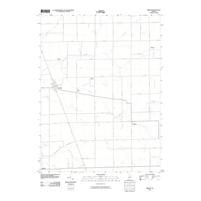
2010 Map of Kirklin
USGS Topo · Published 2010About this map
Kirklin serves as the primary hub of this landscape, situated at the intersection of local routes in the southern portion of Clinton County. The town's grid is established adjacent to Sugar Creek, which winds northwest through a terrain defined by an extensive drainage system. This network of engineered waterways, including the Hart Loucks Ditch and Snodgrass Ditch, reflects the intensive agricultural development of the Indiana countryside.
Find a feature on this map
67 named features on this map. Tap any name to fly to it.
Don’t see what you’re looking for? This feature index may not catch every label — zoom into the map to look around manually.
Map Details
Editions of this 2010 Kirklin Map
This is the sole edition of this map. No revisions or reprints were ever made.
Other maps of this area

1953 · Westfield
USGS Topo · 1:24,000

1953 · Rosston
USGS Topo · 1:24,000

1953 · Lebanon
USGS Topo · 1:24,000

1953 · Danville
USGS Topo · 1:250,000

1955 · Danville
USGS Topo · 1:250,000

1956 · Danville
USGS Topo · 1:250,000

1960 · Kempton
USGS Topo · 1:24,000

1961 · Michigantown
USGS Topo · 1:24,000

1961 · Sheridan
USGS Topo · 1:24,000

1961 · Mechanicsburg
USGS Topo · 1:24,000