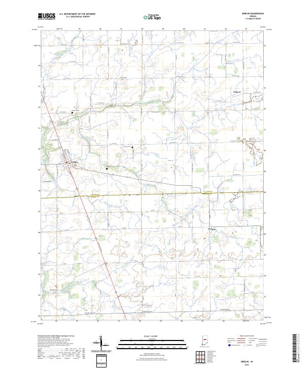
2022 Map of Kirklin
USGS Topo · Published 2022About this map
Kirklin serves as the primary hub on this recent survey of the Indiana agricultural landscape, situated at the intersection of N Michigan Rd and E Pike St. The surrounding terrain is defined by an extensive and highly organized network of drainage systems, including McClamrock Ditch, Stoker Ditch, and Kingsoliver Ditch, which support the productive farmland of the Clinton and Boone county border. This engineering-heavy landscape reflects a modern agricultural era where natural flows like Sugar Creek are augmented by dozens of named channels such as Snodgrass Ditch and Powers Ditch. For local historians and genealogists, the map preserves the locations of several community burial grounds, including Oak Hill Cem, Stowers Cem, and Bogan Cem, alongside smaller settlements like Pickard and Terhune.
Find a feature on this map
58 named features on this map. Tap any name to fly to it.
Don’t see what you’re looking for? This feature index may not catch every label — zoom into the map to look around manually.
Map Details
Editions of this 2022 Kirklin Map
This is the sole edition of this map. No revisions or reprints were ever made.
Other maps of this area

1953 · Westfield
USGS Topo · 1:24,000

1953 · Rosston
USGS Topo · 1:24,000

1953 · Lebanon
USGS Topo · 1:24,000

1953 · Danville
USGS Topo · 1:250,000

1955 · Danville
USGS Topo · 1:250,000

1956 · Danville
USGS Topo · 1:250,000

1960 · Kempton
USGS Topo · 1:24,000

1961 · Michigantown
USGS Topo · 1:24,000

1961 · Sheridan
USGS Topo · 1:24,000

1961 · Mechanicsburg
USGS Topo · 1:24,000