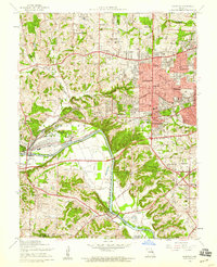
1954 Map of Kirkwood
USGS Topo · Published 1959About this map
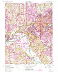
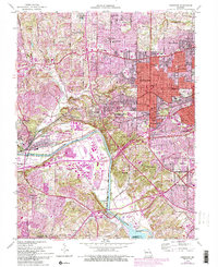
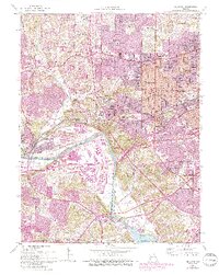
Residential growth and suburban development characterize the landscape of Kirkwood and its surrounding communities during the mid-1950s. The map illustrates a dense network of suburban expansion, from the established neighborhoods of Glendale and Oakland to the smaller enclaves of Huntleigh and Warson Woods. These residential pockets are anchored by a high concentration of educational and religious institutions, including Ursuline Academy, St Josephs College, and Tillman Sch.
Find a feature on this map
69 named features on this map. Tap any name to fly to it.
Don’t see what you’re looking for? This feature index may not catch every label — zoom into the map to look around manually.
Map Details
Editions of this 1954 Kirkwood Map
7 editions found
Other maps of this area

1901 · De Soto
USGS Topo · 1:125,000

1903 · O'Fallon
USGS Topo · 1:125,000

1912 · Kimmswick
USGS Topo · 1:62,500

1916 · Kimmswick
USGS Topo · 1:62,500

1931 · Manchester SE
USGS Topo · 1:24,000

1931 · Pacific NE
USGS Topo · 1:24,000

1932 · Manchester NE
USGS Topo · 1:24,000

1933 · Creve Coeur
USGS Topo · 1:24,000

1933 · Jefferson Barracks
USGS Topo · 1:24,000

1933 · Clayton
USGS Topo · 1:24,000