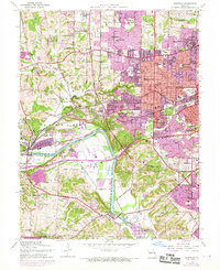
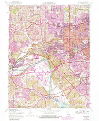
1954 Map of Kirkwood
USGS Topo · Published 1969About this map
The Meramec River carves a deep valley through the southern portion of this landscape, separating the established suburban centers from the rural expanses of Fenton and Vandover. In the mid-1950s, this area was a patchwork of rapid residential expansion and significant institutional sites, including the Sisters of Mercy Convent and the Museum of Transport near Barretts. The transport network is particularly dense here, defined by the crossing of the St Louis San Francisco and Missouri Pacific railroads alongside major thoroughfares like Manchester Road and Watson Road. Educational and religious institutions are plentiful, ranging from the Ursuline Academy in Oakland to several parochial schools. Notable open spaces such as Buder Park and the Old Watson Country Club reflect the transition from agricultural land to dedicated suburban recreational areas during this era of growth.
Find a feature on this map
78 named features on this map. Tap any name to fly to it.
Don’t see what you’re looking for? This feature index may not catch every label — zoom into the map to look around manually.
Map Details
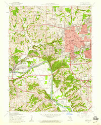
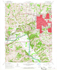
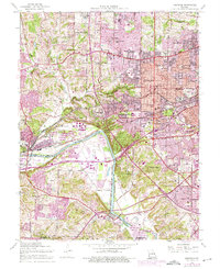
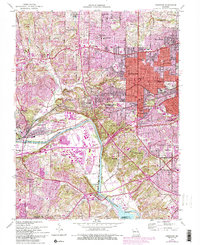
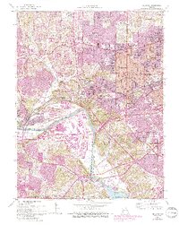
Editions of this 1954 Kirkwood Map
7 editions found
Other maps of this area

1901 · De Soto
USGS Topo · 1:125,000

1903 · O'Fallon
USGS Topo · 1:125,000

1912 · Kimmswick
USGS Topo · 1:62,500

1916 · Kimmswick
USGS Topo · 1:62,500

1931 · Manchester SE
USGS Topo · 1:24,000

1931 · Pacific NE
USGS Topo · 1:24,000

1932 · Manchester NE
USGS Topo · 1:24,000

1933 · Creve Coeur
USGS Topo · 1:24,000

1933 · Jefferson Barracks
USGS Topo · 1:24,000

1933 · Clayton
USGS Topo · 1:24,000