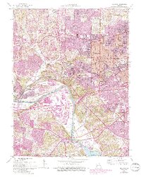
1954 Map of Kirkwood
USGS Topo · Published 1993About this map
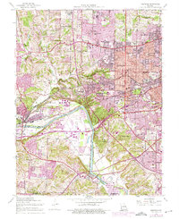
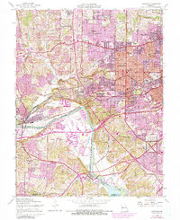
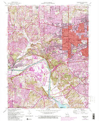
The Meramec River defines the southern reach of this mid-century landscape, a corridor where industrial utility and suburban expansion meet. The St Louis County Waterworks and the Museum of Transport anchor the western edge near Barretts, while the suburban centers of Kirkwood, Glendale, and Ladue show significant development. This map, based on 1954 data with 1990s revisions, illustrates the rapid postwar growth of St. Louis County through numerous educational and religious institutions such as Ursuline Academy, St Pauls Sch, and the Sisters of Mercy Convent.
Find a feature on this map
80 named features on this map. Tap any name to fly to it.
Don’t see what you’re looking for? This feature index may not catch every label — zoom into the map to look around manually.
Map Details
Editions of this 1954 Kirkwood Map
7 editions found
Other maps of this area

1901 · De Soto
USGS Topo · 1:125,000

1903 · O'Fallon
USGS Topo · 1:125,000

1912 · Kimmswick
USGS Topo · 1:62,500

1916 · Kimmswick
USGS Topo · 1:62,500

1931 · Manchester SE
USGS Topo · 1:24,000

1931 · Pacific NE
USGS Topo · 1:24,000

1932 · Manchester NE
USGS Topo · 1:24,000

1933 · Creve Coeur
USGS Topo · 1:24,000

1933 · Jefferson Barracks
USGS Topo · 1:24,000

1933 · Clayton
USGS Topo · 1:24,000