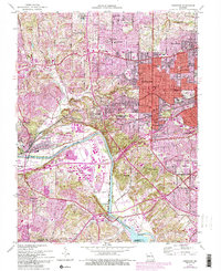
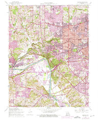
1954 Map of Kirkwood
USGS Topo · Published 1993About this map
The Meramec River carves a sweeping path through this mid-century landscape, acting as a natural boundary between the expanding suburbs of St. Louis County and the northern edge of Jefferson County. The community of Kirkwood serves as a central hub, densely packed with neighborhood schools like Pitman Sch and the Ursuline Academy. This era shows the post-war suburban transition, where older settlements like Valley Park and Peerless Park sit alongside newer developments in Sunset Hills and Crestwood.
Find a feature on this map
53 named features on this map. Tap any name to fly to it.
Don’t see what you’re looking for? This feature index may not catch every label — zoom into the map to look around manually.
Map Details
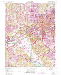
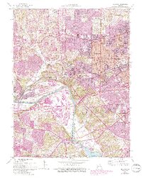
Editions of this 1954 Kirkwood Map
7 editions found
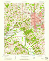
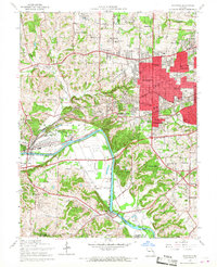
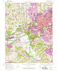
Other maps of this area

1901 · De Soto
USGS Topo · 1:125,000

1903 · O'Fallon
USGS Topo · 1:125,000

1912 · Kimmswick
USGS Topo · 1:62,500

1916 · Kimmswick
USGS Topo · 1:62,500

1931 · Manchester SE
USGS Topo · 1:24,000

1931 · Pacific NE
USGS Topo · 1:24,000

1932 · Manchester NE
USGS Topo · 1:24,000

1933 · Creve Coeur
USGS Topo · 1:24,000

1933 · Jefferson Barracks
USGS Topo · 1:24,000

1933 · Clayton
USGS Topo · 1:24,000