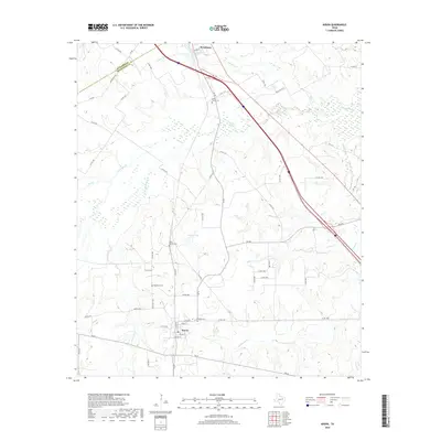
2019 Map of Kirvin
USGS Topo · Published 2019About this map
Kirvin and Streetman anchor this Central Texas landscape near the border of Navarro and Freestone counties. The area is defined by a dense network of seasonal and permanent watercourses, including the westward-flowing Tehuacana Creek and its tributary Little Tehuacana Creek. The terrain is marked by numerous family and community landmarks, particularly a series of burial grounds such as Woodland Cemetery and Webb-Branch Cemetery, which suggest the deep-rooted rural settlement patterns of the region.
Find a feature on this map
59 named features on this map. Tap any name to fly to it.
Don’t see what you’re looking for? This feature index may not catch every label — zoom into the map to look around manually.
Map Details
Editions of this 2019 Kirvin Map
This is the sole edition of this map. No revisions or reprints were ever made.
Other maps of this area

1919 · Fairfield
USGS Topo · 1:62,500

1920 · Mexia
USGS Topo · 1:62,500

1954 · Waco
USGS Topo · 1:250,000

1955 · Waco
USGS Topo · 1:250,000

1960 · Winkler
USGS Topo · 1:24,000

1960 · Streetman
USGS Topo · 1:24,000

1963 · Richland
USGS Topo · 1:24,000

1963 · Wortham
USGS Topo · 1:24,000

1963 · Teague North
USGS Topo · 1:24,000

1963 · Kirvin
USGS Topo · 1:24,000