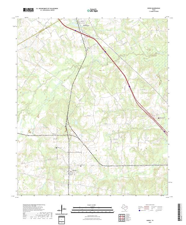
2022 Map of Kirvin
USGS Topo · Published 2022About this map
Kirvin and Streetman serve as the primary anchors for this section of the Texas landscape, situated along the county line between Navarro and Freestone counties. The area is defined by a dense network of country roads, including FM 80 and FM 246, which connect various family-named landmarks and rural burial grounds. Genealogists will find significant detail in the distribution of local cemeteries, such as Woodland Cem and the Webb-Branch Cem, which are scattered throughout the rolling terrain near Loper Lake.
Find a feature on this map
60 named features on this map. Tap any name to fly to it.
Don’t see what you’re looking for? This feature index may not catch every label — zoom into the map to look around manually.
Map Details
Editions of this 2022 Kirvin Map
This is the sole edition of this map. No revisions or reprints were ever made.
Other maps of this area

1919 · Fairfield
USGS Topo · 1:62,500

1920 · Mexia
USGS Topo · 1:62,500

1954 · Waco
USGS Topo · 1:250,000

1955 · Waco
USGS Topo · 1:250,000

1960 · Winkler
USGS Topo · 1:24,000

1960 · Streetman
USGS Topo · 1:24,000

1963 · Richland
USGS Topo · 1:24,000

1963 · Wortham
USGS Topo · 1:24,000

1963 · Teague North
USGS Topo · 1:24,000

1963 · Kirvin
USGS Topo · 1:24,000