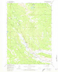
1956 Map of Kisinger Lakes
USGS Topo · Published 1973About this map
Pinnacle Buttes dominate the northwestern skyline of this portion of the Shoshone National Forest, overlooking a landscape defined by the upper reaches of the Wind River. In the mid-1950s, this area of Fremont County remained a working wilderness where high-altitude ranching and forest management intersected. Isolated outposts such as Griffith Ranch, Lava Creek Ranch, and Triangle C Ranch are situated along the valley floor, while more remote operations like the Cross Cow Camp suggest the seasonal movement of livestock through the drainage.
Find a feature on this map
48 named features on this map. Tap any name to fly to it.
Don’t see what you’re looking for? This feature index may not catch every label — zoom into the map to look around manually.
Map Details
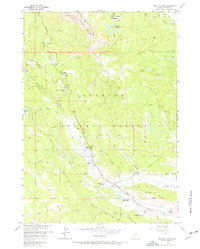
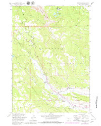
Editions of this 1956 Kisinger Lakes Map
4 editions found
Other maps of this area

1902 · Mt Leidy
USGS Topo · 1:125,000

1905 · Younts Peak
USGS Topo · 1:125,000

1907 · Younts Peak
USGS Topo · 1:125,000

1955 · Driggs
USGS Topo · 1:250,000

1955 · Thermopolis
USGS Topo · 1:250,000

1956 · Esmond Park
USGS Topo · 1:24,000

1956 · Shoshone Pass
USGS Topo · 1:24,000

1956 · Warm Spring Mountain
USGS Topo · 1:24,000

1956 · Fish Lake
USGS Topo · 1:24,000

1956 · Kisinger Lakes
USGS Topo · 1:24,000