Loading...
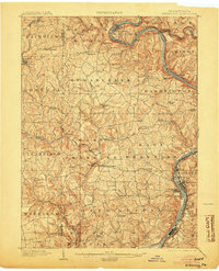
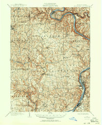
Loading map...1902 Map of Kittanning
USGS Topo · Published 1904About this map
Kittanning and the high banks of the Allegheny River anchor this 1900 survey of Armstrong and Butler Counties. The landscape is defined by the sharp meanders of the river, most notably the deep oxbow at Bradys Bend, and the industrial pulse of the Redbank Furnace near the mouth of Redbank Creek. The topography reveals a region deeply tied to early manufacturing and transit, with numerous mill sites such as Fosters Mills and Buffalo Mills positioned along the creek valleys.
Find a feature on this map
80 named features on this map. Tap any name to fly to it.
Don’t see what you’re looking for? This feature index may not catch every label — zoom into the map to look around manually.
Map Details
Date Portrayed1902
Date Published1904
PublisherU.S. Geological Survey
Map TypeTopographic
Scale1:62,500
Physical Dimensions16.5 x 20.5 inches
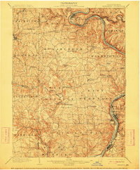
Editions of this 1902 Kittanning Map
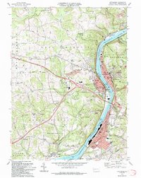
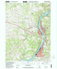
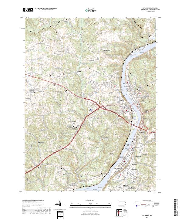
6 editions found

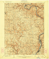
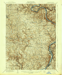
Historical Maps of Kittanning Through Time
6 maps found


Featured Locations
Source Details
SourceU.S. Geological Survey
CopyrightPublic Domain