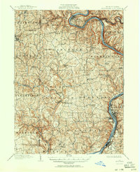
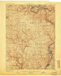
1902 Map of Kittanning
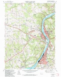
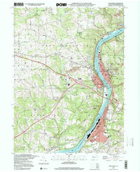
USGS Topo · Published 1951About this map
The Allegheny River carves a deep, winding path through this portion of Armstrong and Butler Counties, centered around the prominent hairpin turn at Bradys Bend. Surveyed at the dawn of the twentieth century, the landscape is defined by its industrial and agricultural vitality, where the river serves as a primary corridor for the Buffalo and Allegheny Valley Div railroad. Early industrial sites like Redbank Furnace and localized centers such as Fosters Mills and Buffalo Mills anchor the rural economy, while the western edge shows the established grid of Chicora and Karns City. This 1900 survey documents a dense network of crossroads communities and family-named landmarks, from Lacys Store and Kepples Corners to Browne Crossroads, revealing the intricate social geography of Western Pennsylvania before the modern highway era. The map traces multiple rail lines, including the Pittsburgh and Western RR, weaving through the valleys of Buffalo Creek and Redbank Creek.
Find a feature on this map
77 named features on this map. Tap any name to fly to it.
Don’t see what you’re looking for? This feature index may not catch every label — zoom into the map to look around manually.
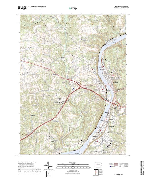
Map Details
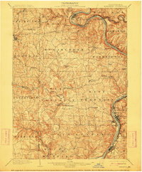
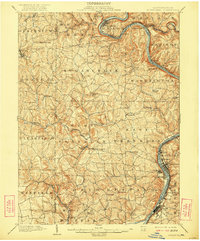
Editions of this 1902 Kittanning Map
6 editions found

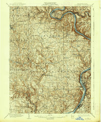
Historical Maps of Kittanning Through Time
6 maps found