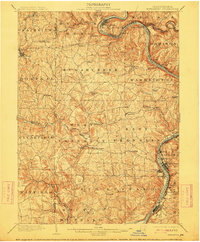
1902 Map of Kittanning
USGS Topo · Published 1912About this map
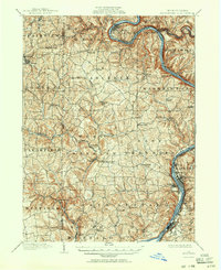
The Allegheny River carves a dramatic path through this 1900 survey, defined by the iconic loop at Bradys Bend and the industrial activity of Kittanning and Ford City. The map documents a period of transition for the region, where the steep river valleys and rolling uplands of Butler and Armstrong Counties are unified by an expanding network of railroads. Key lines like the Pennsylvania RR and the Pittsburg and Western RR follow the watercourses, facilitating the movement of coal and iron. At the northern edge, the Redbank Furnace near East Brady highlights the area's early metallurgical heritage, while numerous smaller hamlets such as Worthington and Buffalo Mills serve as local agricultural hubs. The presence of Lacy's Store and Browns Crossroads suggests the importance of early overland trade routes before the dominance of motorized transport.
Find a feature on this map
85 named features on this map. Tap any name to fly to it.
Don’t see what you’re looking for? This feature index may not catch every label — zoom into the map to look around manually.
Map Details
Editions of this 1902 Kittanning Map
6 editions found
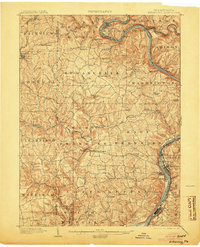
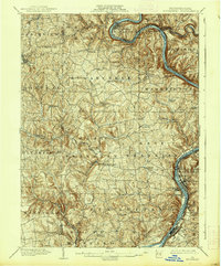
Other maps of this area

1900 · Kittanning
USGS Topo · 1:62,500

1901 · Rural Valley
USGS Topo · 1:62,500

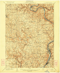
1902 · Kittanning
USGS Topo · 1:62,500

1902 · Elders Ridge
USGS Topo · 1:62,500

1903 · Rural Valley
USGS Topo · 1:62,500

1904 · Elders Ridge
USGS Topo · 1:62,500

1906 · Clarion
USGS Topo · 1:62,500

1907 · Clarion
USGS Topo · 1:62,500

1907 · Foxburg
USGS Topo · 1:62,500

1907 · Freeport
USGS Topo · 1:62,500