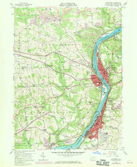
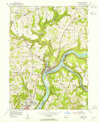
1958 Map of Kittanning
USGS Topo · Published 1970About this map
The Allegheny River corridor serves as the industrial and social spine of this Armstrong County landscape during the late 1950s and 1960s. The bustling borough of Kittanning sits at the center of the sheet, supported by a dense network of neighborhoods and industrial suburbs including West Kittanning, Applewold, and Wick City. Further downstream, Ford City stands alongside its counterparts West Ford City and Ford Cliff, illustrating the river-driven expansion of the era.
Find a feature on this map
77 named features on this map. Tap any name to fly to it.
Don’t see what you’re looking for? This feature index may not catch every label — zoom into the map to look around manually.
Map Details
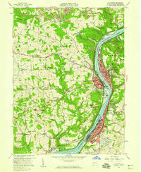
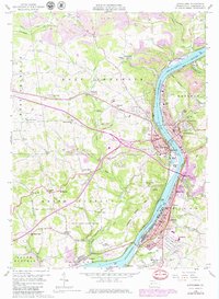
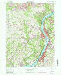
Editions of this 1958 Kittanning Map
4 editions found
Other maps of this area

1900 · Kittanning
USGS Topo · 1:62,500

1901 · Rural Valley
USGS Topo · 1:62,500

1902 · Kittanning
USGS Topo · 1:62,500

1902 · Elders Ridge
USGS Topo · 1:62,500

1903 · Rural Valley
USGS Topo · 1:62,500

1904 · Elders Ridge
USGS Topo · 1:62,500

1907 · Freeport
USGS Topo · 1:62,500

1909 · Freeport
USGS Topo · 1:62,500

1953 · Pittsburgh
USGS Topo · 1:250,000
1953 · Freeport
USGS Topo · 1:24,000