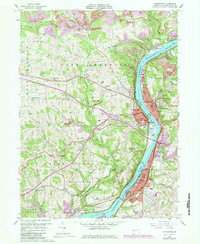
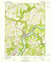
1958 Map of Kittanning
USGS Topo · Published 1984About this map
The Allegheny River corridor serves as the industrial and social backbone of this Armstrong County region, where the boroughs of Kittanning and Ford City anchor a landscape defined by riverside commerce and steep hillsides. In the mid-20th century, the presence of the Conrail, Baltimore and Ohio, and Pittsburg and Shawmut railroads indicates a high-density transit network connecting riverfront neighborhoods like Wick City and Applewold with outlying hamlets. Beyond the concentrated urban centers, the terrain transitions into a patchwork of rural cemeteries and churches, such as Lawnheaven Cem and Franklin Union Ch. Local development is juxtaposed with resource extraction and conservation, visible in the numerous industrial sites and the expansive State Game Lands No 247 in the southwestern quadrant.
Find a feature on this map
84 named features on this map. Tap any name to fly to it.
Don’t see what you’re looking for? This feature index may not catch every label — zoom into the map to look around manually.
Map Details
Editions of this 1958 Kittanning Map
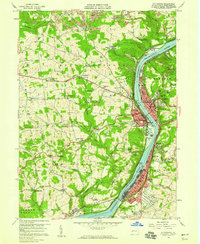
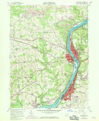
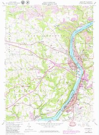
4 editions found
Other maps of this area

1900 · Kittanning
USGS Topo · 1:62,500

1901 · Rural Valley
USGS Topo · 1:62,500

1902 · Kittanning
USGS Topo · 1:62,500

1902 · Elders Ridge
USGS Topo · 1:62,500

1903 · Rural Valley
USGS Topo · 1:62,500

1904 · Elders Ridge
USGS Topo · 1:62,500

1907 · Freeport
USGS Topo · 1:62,500

1909 · Freeport
USGS Topo · 1:62,500

1953 · Pittsburgh
USGS Topo · 1:250,000
1953 · Freeport
USGS Topo · 1:24,000