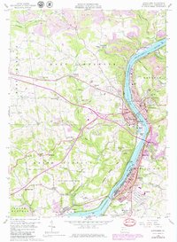
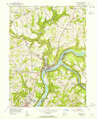
1958 Map of Kittanning
USGS Topo · Published 1979About this map
The Allegheny River valley defines this industrial and agricultural corridor in Armstrong County, anchoring major centers like Kittanning and Ford City. By the mid-20th century, the landscape reflects a complex heritage of extraction and manufacturing, with numerous strip mines dotting the northern hills and a mill and sludge pit situated along the riverbanks near Cadogan. The infrastructure of the era is evident in the multiple rail lines, including the Baltimore and Ohio and the Pittsburg and Shawmut, which serviced the valley's towns and industries.
Find a feature on this map
86 named features on this map. Tap any name to fly to it.
Don’t see what you’re looking for? This feature index may not catch every label — zoom into the map to look around manually.
Map Details
Editions of this 1958 Kittanning Map
4 editions found
Other maps of this area

1900 · Kittanning
USGS Topo · 1:62,500

1901 · Rural Valley
USGS Topo · 1:62,500

1902 · Kittanning
USGS Topo · 1:62,500

1902 · Elders Ridge
USGS Topo · 1:62,500

1903 · Rural Valley
USGS Topo · 1:62,500

1904 · Elders Ridge
USGS Topo · 1:62,500

1907 · Freeport
USGS Topo · 1:62,500

1909 · Freeport
USGS Topo · 1:62,500

1953 · Pittsburgh
USGS Topo · 1:250,000
1953 · Freeport
USGS Topo · 1:24,000