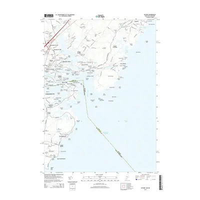
2014 Map of Kittery
USGS Topo · Published 2014About this map
Seavey Island and the sprawling United States Naval Shipyard dominate the inner waters of the Piscataqua River, marking the maritime border between Maine and New Hampshire. This coastal landscape is densely layered with early colonial history and family legacy, evident in the numerous private lots and family burial grounds such as the Brackett Massacre Burial Ground near Wallis Sands and the Foye Family Cem.
Find a feature on this map
228 named features on this map. Tap any name to fly to it.
Don’t see what you’re looking for? This feature index may not catch every label — zoom into the map to look around manually.
Map Details
Editions of this 2014 Kittery Map
This is the sole edition of this map. No revisions or reprints were ever made.
Other maps of this area

1888 · Newburyport
USGS Topo · 1:62,500

1890 · Newburyport
USGS Topo · 1:62,500

1893 · Dover
USGS Topo · 1:62,500

1893 · York
USGS Topo · 1:62,500

1894 · Newburyport
USGS Topo · 1:62,500

1916 · Dover
USGS Topo · 1:62,500

1918 · Dover
USGS Topo · 1:62,500

1920 · York
USGS Topo · 1:62,500

1932 · Newburyport
USGS Topo · 1:48,000

1934 · Exeter
USGS Topo · 1:62,500