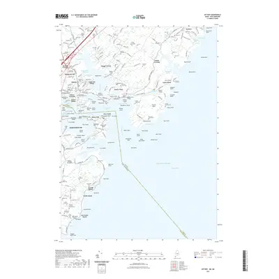
2021 Map of Kittery
USGS Topo · Published 2021About this map
Piscataqua River maritime history dominates this coastal landscape, where the United States Naval Shipyard Cem and numerous historic family plots trace centuries of seafaring heritage. Along the Maine shoreline, Kittery Foreside and Admiralty Village sit across from the bustling harbor of Portsmouth, while the village of New Castle and Shaws Hill occupy the islands near the river mouth.
Find a feature on this map
224 named features on this map. Tap any name to fly to it.
Don’t see what you’re looking for? This feature index may not catch every label — zoom into the map to look around manually.
Map Details
Editions of this 2021 Kittery Map
This is the sole edition of this map. No revisions or reprints were ever made.
Other maps of this area

1888 · Newburyport
USGS Topo · 1:62,500

1890 · Newburyport
USGS Topo · 1:62,500

1893 · Dover
USGS Topo · 1:62,500

1893 · York
USGS Topo · 1:62,500

1894 · Newburyport
USGS Topo · 1:62,500

1916 · Dover
USGS Topo · 1:62,500

1918 · Dover
USGS Topo · 1:62,500

1920 · York
USGS Topo · 1:62,500

1932 · Newburyport
USGS Topo · 1:48,000

1934 · Exeter
USGS Topo · 1:62,500