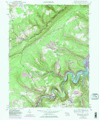
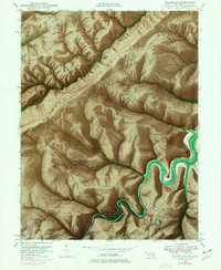
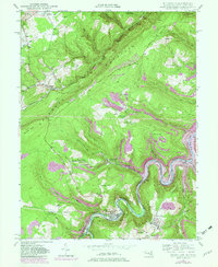
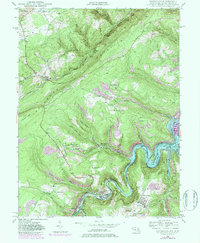
1948 Map of Kitzmiller
USGS Topo · Published 1984About this map
The Potomac River carves a deep valley along the border of Maryland and West Virginia, serving as the industrial and transportation corridor for the coal mining communities of the mid-20th century. This 1948 survey, photorevised later with purple overlays to show the rising waters of Bloomington Lake, captures the rugged topography of Backbone Mountain and Pheasant Ridge. The local economy is visibly tied to the rails, with the Baltimore and Ohio and Western Maryland railroads following the river's winding path to serve towns like Kitzmiller and Shaw.
Find a feature on this map
64 named features on this map. Tap any name to fly to it.
Don’t see what you’re looking for? This feature index may not catch every label — zoom into the map to look around manually.
Map Details
Editions of this 1948 Kitzmiller Map
7 editions found
Other maps of this area

1895 · Piedmont
USGS Topo · 1:125,000

1899 · Grantsville
USGS Topo · 1:62,500

1899 · Oakland
USGS Topo · 1:62,500

1900 · Accident
USGS Topo · 1:62,500

1900 · Oakland
USGS Topo · 1:62,500

1904 · Grantsville
USGS Topo · 1:62,500

1919 · Elk Garden
USGS Topo · 1:48,000

1920 · Elk Garden
USGS Topo · 1:48,000

1922 · Elk Garden
USGS Topo · 1:62,500
1947 · Barton
USGS Topo · 1:24,000