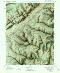
1948 Map of Kitzmiller
USGS Topo · Published 1966About this map
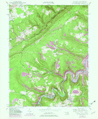
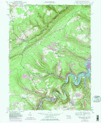
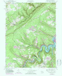
Backbone Mountain anchors this 1948 terrain study, where the borders of Garrett County, Maryland, and Mineral County, West Virginia, meet along the winding North Branch Potomac River. The map documents a rugged landscape defined by steep ridges and narrow valleys, where small coal-era settlements like East Vindex and West Vindex are connected by a network of drainage-fed runs. Industrial history is etched into the hillsides through the presence of 3 Tracks and a Strip Mine near Walnut Bottom Ch. Local genealogy is well-represented by several rural burial grounds, including Odd Fellows Cem and Barnard Cem, alongside community landmarks like the Mt Zion Sch. The Baltimore and Ohio railroad corridor traces the northern heights, while the river valley to the south serves as the primary artery for towns like Kitzmiller and Elk Garden.
Find a feature on this map
58 named features on this map. Tap any name to fly to it.
Don’t see what you’re looking for? This feature index may not catch every label — zoom into the map to look around manually.
Map Details
Editions of this 1948 Kitzmiller Map
7 editions found
Other maps of this area

1895 · Piedmont
USGS Topo · 1:125,000

1899 · Grantsville
USGS Topo · 1:62,500

1899 · Oakland
USGS Topo · 1:62,500

1900 · Accident
USGS Topo · 1:62,500

1900 · Oakland
USGS Topo · 1:62,500

1904 · Grantsville
USGS Topo · 1:62,500

1919 · Elk Garden
USGS Topo · 1:48,000

1920 · Elk Garden
USGS Topo · 1:48,000

1922 · Elk Garden
USGS Topo · 1:62,500
1947 · Barton
USGS Topo · 1:24,000