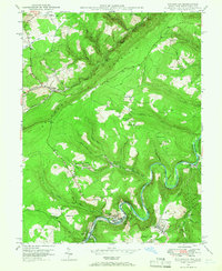
1948 Map of Kitzmiller
USGS Topo · Published 1966About this map
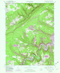
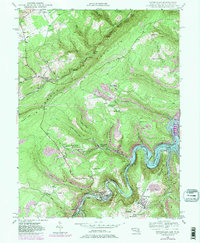
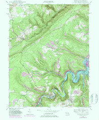
The Potomac River winds through the heart of this post-war landscape, defining the state border and the industrial character of the valley. Settlement is concentrated along the riverbanks and rail lines, with Kitzmiller and Blaine situated at a critical crossing point opposite Elk Garden. The Western Maryland and Baltimore and Ohio railroads follow the steep watercourse, serving the coal-rich terrain of the Backbone Mountain region.
Find a feature on this map
65 named features on this map. Tap any name to fly to it.
Don’t see what you’re looking for? This feature index may not catch every label — zoom into the map to look around manually.
Map Details
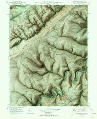
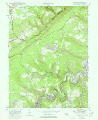
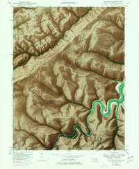
Editions of this 1948 Kitzmiller Map
7 editions found
Other maps of this area

1895 · Piedmont
USGS Topo · 1:125,000

1899 · Grantsville
USGS Topo · 1:62,500

1899 · Oakland
USGS Topo · 1:62,500

1900 · Accident
USGS Topo · 1:62,500

1900 · Oakland
USGS Topo · 1:62,500

1904 · Grantsville
USGS Topo · 1:62,500

1919 · Elk Garden
USGS Topo · 1:48,000

1920 · Elk Garden
USGS Topo · 1:48,000

1922 · Elk Garden
USGS Topo · 1:62,500
1947 · Barton
USGS Topo · 1:24,000