
1961 Map of Knob Hill
USGS Topo · Published 1963About this map
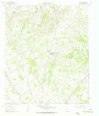
The North Paluxy River and South Paluxy River converge in this central Texas landscape, creating a drainage network that defines the local topography. By the early 1960s, the area southwest of Stephenville Country Club Lake was established with a mix of agricultural research at the Texas A & M College Experimental Station and scattered rural institutions. Numerous small cemeteries, including Morgan Chapel Cem and Bethel Cem, alongside the Center Grove Sch, indicate a well-distributed population of family farms. The Gulf Colorado and Santa Fe railroad cuts through the eastern portion of the terrain, paralleling the river, while several borrow pits near the North Bosque River suggest active road building or local industry during this period.
Find a feature on this map
28 named features on this map. Tap any name to fly to it.
Don’t see what you’re looking for? This feature index may not catch every label — zoom into the map to look around manually.
Map Details
Editions of this 1961 Knob Hill Map
3 editions found
Other maps of this area

1890 · Stephenville
USGS Topo · 1:125,000

1920 · Stephenville
USGS Topo · 1:125,000

1954 · Abilene
USGS Topo · 1:250,000

1958 · Abilene
USGS Topo · 1:250,000

1961 · Johnsville
USGS Topo · 1:24,000

1961 · Stephenville
USGS Topo · 1:24,000
1965 · Bluff Dale NE
USGS Topo · 1:24,000
1965 · Bunyan
USGS Topo · 1:24,000
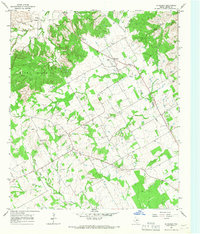
1965 · Huckabay
USGS Topo · 1:24,000
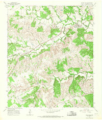
1965 · Bluff Dale
USGS Topo · 1:24,000