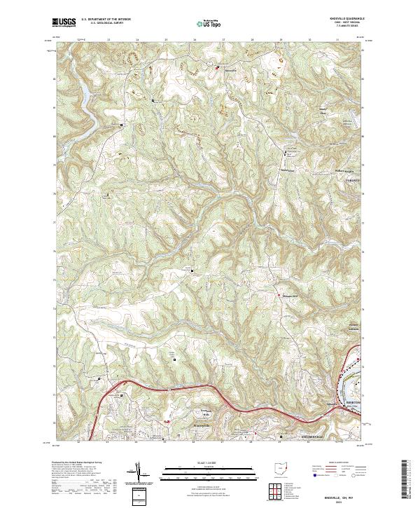
2023 Map of Knoxville
USGS Topo · Published 2023About this map
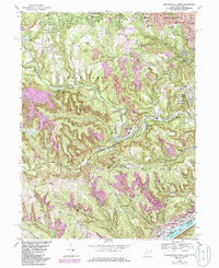
The Knoxville vicinity of Jefferson County, Ohio, reveals a landscape defined by deeply incised hollows and a dense network of country cemeteries. The terrain is marked by significant drainages such as Island Creek and the North Fork Wills Creek, which create a series of ridges where historic settlements like Shady Glen and Taylortown are located. This modern survey shows the expansion of Wintersville and Steubenville toward the south, where the Eastern Gateway Community College Jefferson County Campus and the Jefferson County Courthouse Number Two serve as regional hubs.
Find a feature on this map
111 named features on this map. Tap any name to fly to it.
Don’t see what you’re looking for? This feature index may not catch every label — zoom into the map to look around manually.
Map Details
Editions of this 2023 Knoxville Map
This is the sole edition of this map. No revisions or reprints were ever made.
Historical Maps of Osage Through Time
14 maps found
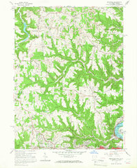
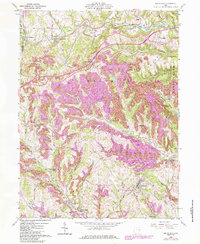
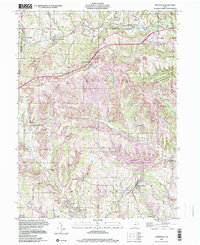
1958 Knoxville
Jefferson County, OH
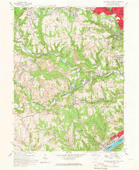
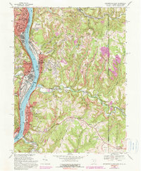
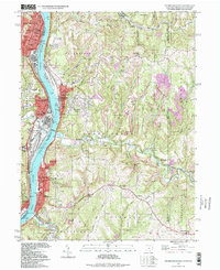
1958 Steubenville West
Jefferson County, OH
1960 Dillonvale
Jefferson County, OH
1960 Smithfield
Jefferson County, OH
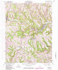
1968 Knoxville
Jefferson County, OH
1968 Steubenville East
Jefferson County, OH
1968 Steubenville West
Jefferson County, OH
1997 Smithfield
Jefferson County, OH
1997 Steubenville East
Jefferson County, OH
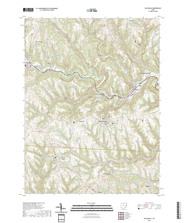
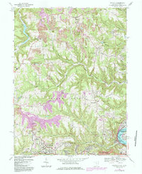
2023 Dillonvale
Jefferson County, OH
2023 Knoxville
Jefferson County, OH
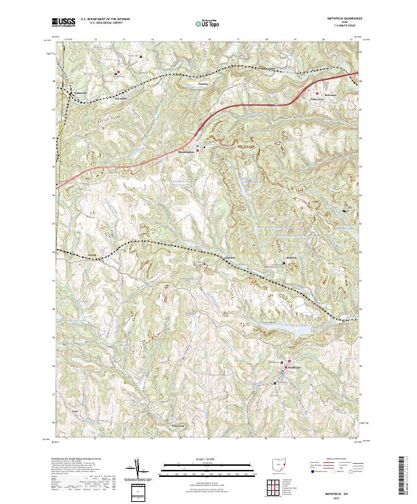
2023 Smithfield
Jefferson County, OH
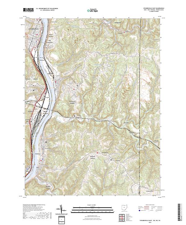
2023 Steubenville East
Jefferson County, OH
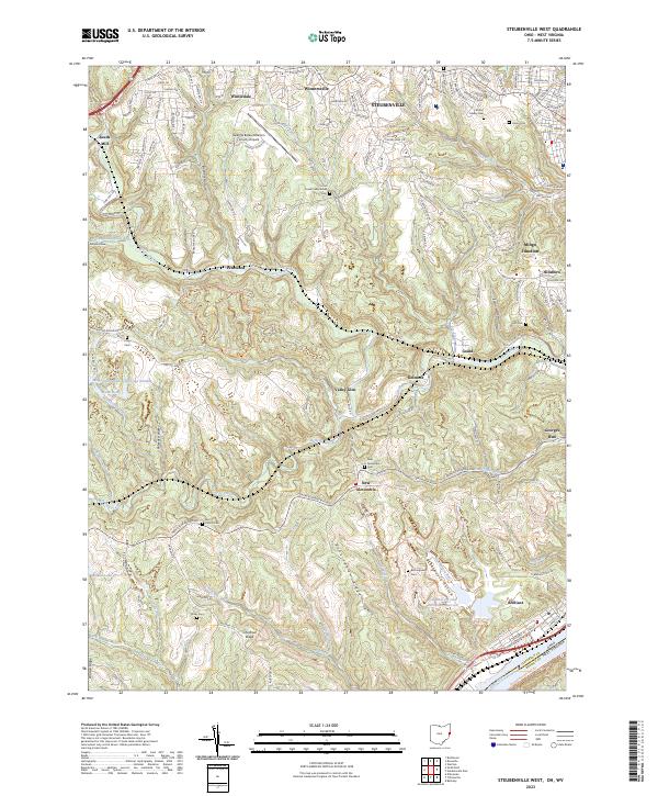
2023 Steubenville West
Jefferson County, OH