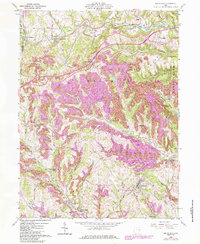
1960 Map of Smithfield
USGS Topo · Published 1984About this map
Wayne and Smithfield townships are defined by a complex network of ridges and drainage basins, where the landscape is heavily influenced by industrial activity. Extensive Strip Mine operations mark the terrain, particularly between Hopedale and Chandler. This era captures the transition of the regional transportation network, featuring the Conrail and Norfolk And Western railroad lines as they wind through valleys carved by Cross Creek and McIntyre Creek.
Find a feature on this map
60 named features on this map. Tap any name to fly to it.
Don’t see what you’re looking for? This feature index may not catch every label — zoom into the map to look around manually.
Map Details
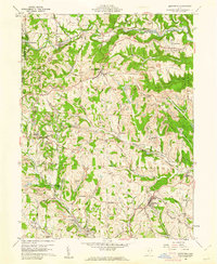
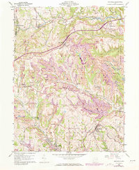
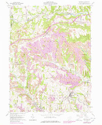
Editions of this 1960 Smithfield Map
4 editions found
Other maps of this area

1901 · Cadiz
USGS Topo · 1:62,500

1902 · Wheeling
USGS Topo · 1:62,500

1903 · Cadiz
USGS Topo · 1:62,500

1904 · Steubenville
USGS Topo · 1:62,500

1905 · St. Clairsville
USGS Topo · 1:62,500

1935 · Wheeling
USGS Topo · 1:62,500

1935 · Steubenville
USGS Topo · 1:62,500

1942 · Wheeling
USGS Topo · 1:62,500

1942 · Steubenville
USGS Topo · 1:62,500

1951 · Canton
USGS Topo · 1:250,000