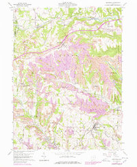
1960 Map of Smithfield
USGS Topo · Published 1978About this map
Industrial and rural landscapes intersect in this portion of Jefferson County, where the topography is defined by the heavy footprint of coal extraction. Extensive Strip Mine operations are visible across the hills, particularly surrounding Bloomingdale and Hopedale. These sites, often marked for reclamation by the late 1970s, stand in contrast to the established agricultural and civic centers like Smithfield, which contains a Stadium and the Fairgrounds. The region's transport network is a complex layering of eras, featuring the Norfolk and Western and Penn Central lines alongside an Old RR Grade, tracing the evolution of coal and freight movement through the valleys of McIntyre Creek and Cross Creek. Small settlements like Piney Fork and Unionport anchor the rural sections, where historic sites such as Mt Moriah Ch and Pine Run Cem provide essential data points for local family historians.
Find a feature on this map
68 named features on this map. Tap any name to fly to it.
Don’t see what you’re looking for? This feature index may not catch every label — zoom into the map to look around manually.
Map Details
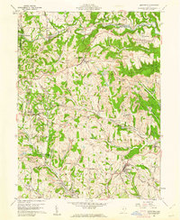
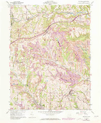
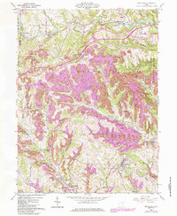
Editions of this 1960 Smithfield Map
4 editions found
Other maps of this area

1901 · Cadiz
USGS Topo · 1:62,500

1902 · Wheeling
USGS Topo · 1:62,500

1903 · Cadiz
USGS Topo · 1:62,500

1904 · Steubenville
USGS Topo · 1:62,500

1905 · St. Clairsville
USGS Topo · 1:62,500

1935 · Wheeling
USGS Topo · 1:62,500

1935 · Steubenville
USGS Topo · 1:62,500

1942 · Wheeling
USGS Topo · 1:62,500

1942 · Steubenville
USGS Topo · 1:62,500

1951 · Canton
USGS Topo · 1:250,000