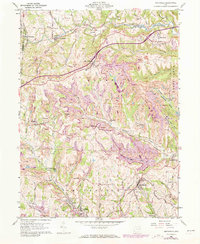
1960 Map of Smithfield
USGS Topo · Published 1973About this map
Industrial activity and rural settlement define this portion of Jefferson County during the mid-twentieth century. Extensive Strip Mine operations dominate the landscape between Bloomingdale and Smithfield, revealing the heavy impact of coal extraction on the local terrain. Despite the industrial footprint, traditional community centers remain prominent, including Unionport and Piney Fork, along with several country churches like Mt Moriah Ch and St James Ch.
Find a feature on this map
69 named features on this map. Tap any name to fly to it.
Don’t see what you’re looking for? This feature index may not catch every label — zoom into the map to look around manually.
Map Details
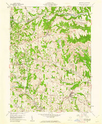
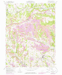
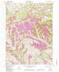
Editions of this 1960 Smithfield Map
4 editions found
Other maps of this area

1901 · Cadiz
USGS Topo · 1:62,500

1902 · Wheeling
USGS Topo · 1:62,500

1903 · Cadiz
USGS Topo · 1:62,500

1904 · Steubenville
USGS Topo · 1:62,500

1905 · St. Clairsville
USGS Topo · 1:62,500

1935 · Wheeling
USGS Topo · 1:62,500

1935 · Steubenville
USGS Topo · 1:62,500

1942 · Wheeling
USGS Topo · 1:62,500

1942 · Steubenville
USGS Topo · 1:62,500

1951 · Canton
USGS Topo · 1:250,000