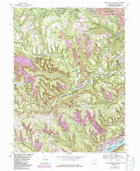
1968 Map of Steubenville West
USGS Topo · Published 1985About this map
Fernwood State Forest and the rugged winding valley of Cross Creek define the landscape west of the industrial riverfront in the late 1960s. The map captures a moment of transition where established residential areas like Wintersville and Steubenville meet the heavy industrial and extraction zones of the upper Ohio Valley. Evidence of the region’s resource-based economy is visible throughout the terrain in numerous strip mines, oil wells, and gas wells that dot the ridges above Mingo Junction. Local genealogy is well-represented through institutions like Union Cemetery, Mt Calvary Cemetery, and the Tent Ch Cem near McIntyre Creek. This 1968 survey also documents the mid-century infrastructure of the area, including the US Naval Reserve Training Center, the Cross Creek Airpark, and the rail lines of the Conrail and Norfolk And Western systems.
Find a feature on this map
67 named features on this map. Tap any name to fly to it.
Don’t see what you’re looking for? This feature index may not catch every label — zoom into the map to look around manually.
Map Details
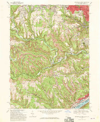
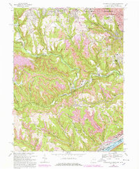
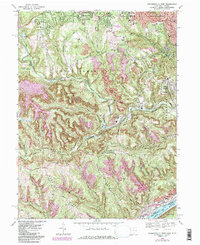
Editions of this 1968 Steubenville West Map
4 editions found
Other maps of this area

1901 · Cadiz
USGS Topo · 1:62,500

1902 · Wheeling
USGS Topo · 1:62,500

1903 · Cadiz
USGS Topo · 1:62,500

1904 · Steubenville
USGS Topo · 1:62,500

1905 · St. Clairsville
USGS Topo · 1:62,500

1935 · Wheeling
USGS Topo · 1:62,500

1935 · Steubenville
USGS Topo · 1:62,500

1942 · Wheeling
USGS Topo · 1:62,500

1942 · Steubenville
USGS Topo · 1:62,500

1951 · Canton
USGS Topo · 1:250,000