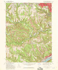
1968 Map of Steubenville West
USGS Topo · Published 1970About this map
Steubenville dominates the northeastern corner of this late 1960s survey, showing its dense urban grid and institutional landmarks like Ohio Valley Hospital and the sprawling Union Cemetery. The landscape transitions quickly from this industrial hub into a complex network of valleys carved by Cross Creek and its tributaries, where the Penn Central and Norfolk and Western railroads follow the winding watercourses. Evidence of the region’s extractive economy is visible throughout the hills in the numerous strip mines that pock the terrain between Wintersville and the Ohio River.
Find a feature on this map
53 named features on this map. Tap any name to fly to it.
Don’t see what you’re looking for? This feature index may not catch every label — zoom into the map to look around manually.
Map Details
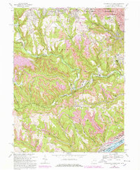
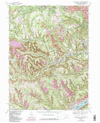
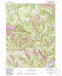
Editions of this 1968 Steubenville West Map
4 editions found
Other maps of this area

1901 · Cadiz
USGS Topo · 1:62,500

1902 · Wheeling
USGS Topo · 1:62,500

1903 · Cadiz
USGS Topo · 1:62,500

1904 · Steubenville
USGS Topo · 1:62,500

1905 · St. Clairsville
USGS Topo · 1:62,500

1935 · Wheeling
USGS Topo · 1:62,500

1935 · Steubenville
USGS Topo · 1:62,500

1942 · Wheeling
USGS Topo · 1:62,500

1942 · Steubenville
USGS Topo · 1:62,500

1951 · Canton
USGS Topo · 1:250,000