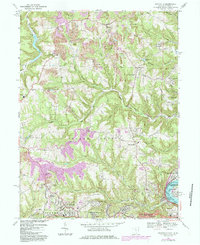
1968 Map of Knoxville
USGS Topo · Published 1985About this map
The rugged hill country of Jefferson County, Ohio, meets the industrial corridor of the upper Ohio River in this late 1960s survey. The landscape is defined by the winding course of Island Creek and its many tributaries, such as Dungeon Hollow Run and Little Island Creek, which carve deep valleys between high ridges like Norton Hill. Settlement is clustered around long-standing communities such as Knoxville and Wintersville, while evidence of the region’s extractive economy is visible in several large Strip Mines and numerous oil wells scattered across the terrain.
Find a feature on this map
45 named features on this map. Tap any name to fly to it.
Don’t see what you’re looking for? This feature index may not catch every label — zoom into the map to look around manually.
Map Details
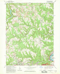
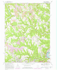
Editions of this 1968 Knoxville Map
Other maps of this area

1901 · Cadiz
USGS Topo · 1:62,500

1903 · Cadiz
USGS Topo · 1:62,500

1904 · Wellsville
USGS Topo · 1:62,500

1904 · Steubenville
USGS Topo · 1:62,500

1905 · Salineville
USGS Topo · 1:62,500

1935 · Steubenville
USGS Topo · 1:62,500

1937 · Wellsville
USGS Topo · 1:62,500

1942 · Steubenville
USGS Topo · 1:62,500

1944 · Wellsville
USGS Topo · 1:62,500

1951 · Canton
USGS Topo · 1:250,000