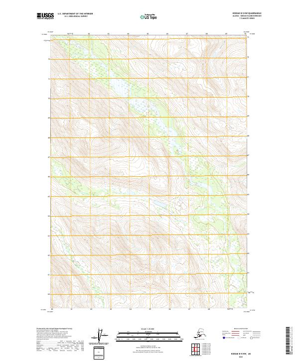
2021 Map of Kodiak B-5 NW
USGS Topo · Published 2021About this map
High-altitude interior terrain of Kodiak Island characterizes this 2021 survey, defined by dramatic elevation changes and glacial-carved drainages. The landscape is primarily divided by the Public Land Survey System grid lines of T31s R27w, T31s R26w, T32s R27w, and T32s R26w. Unlike coastal regions of the island, this quadrangle remains largely devoid of modern development or named settlements, focusing instead on the raw topography and complex water systems mapped via the National Hydrography Dataset. The absence of roads or permanent structures underscores the wilderness character of the Kodiak Island Borough interior, where seasonal imagery from SPOT satellites and elevation data from the National Elevation Dataset reveal a land shaped by ice and water.
Find a feature on this map
4 named features on this map. Tap any name to fly to it.
Don’t see what you’re looking for? This feature index may not catch every label — zoom into the map to look around manually.
Map Details
Editions of this 2021 Kodiak B-5 NW Map
This is the sole edition of this map. No revisions or reprints were ever made.
Other maps of this area

1952 · Kodiak
USGS Topo · 1:250,000

1952 · Kodiak B-6
USGS Topo · 1:63,360

1952 · Kodiak C-5
USGS Topo · 1:63,360

1952 · Kodiak B-5
USGS Topo · 1:63,360

1952 · Kodiak C-6
USGS Topo · 1:63,360
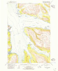
1954 · Kodiak C-6
USGS Topo · 1:63,360
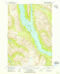
1954 · Kodiak B-6
USGS Topo · 1:63,360
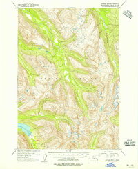
1954 · Kodiak B-5
USGS Topo · 1:63,360
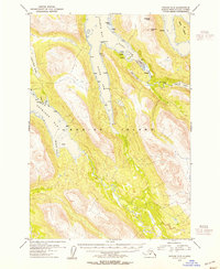
1954 · Kodiak C-5
USGS Topo · 1:63,360
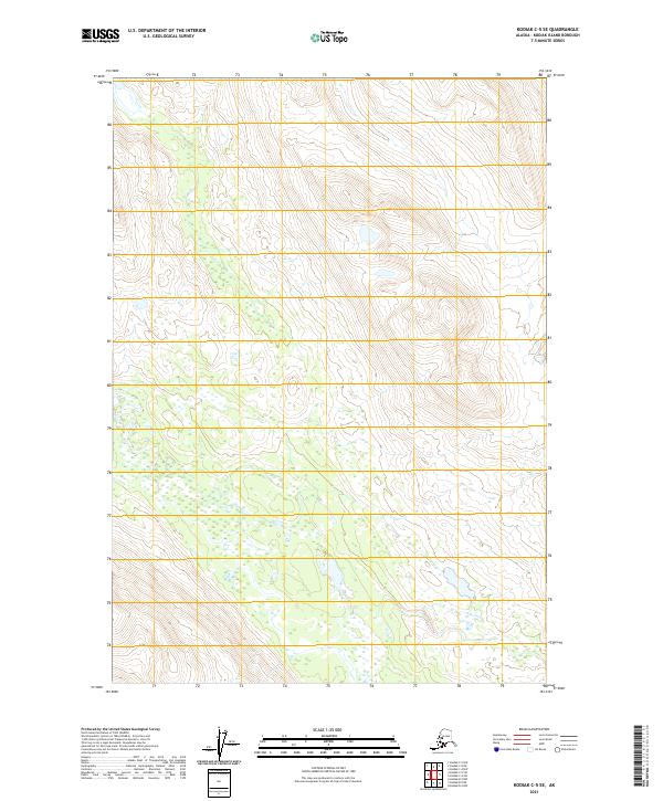
2021 · Kodiak C-5 SE
USGS Topo · 1:25,000