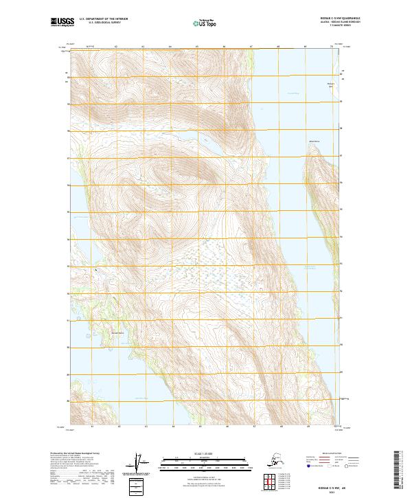
2021 Map of Kodiak C-5 NW
USGS Topo · Published 2021About this map
Uganik Bay and the interconnected waterways of Kodiak Island dominate this 2021 landscape, where the tides of the South Arm Uganik Bay meet a coastline defined by prominent landmarks like Packers Spit and Mink Point. The geography here transitions from the coastal reaches of Telrod Cove to the elevated inland terrain surrounding Spiridon Lake. This survey illustrates the intricate relationship between the North Pacific marine environment and the interior freshwater systems, providing a clear record of the shoreline as it enters Spiridon Bay at Stream Point. The map provides essential data for those studying the remote maritime borders of the Kodiak Island Borough, documenting the land-to-water interface across several townships including t28s r27w and t29s r26w.
Find a feature on this map
12 named features on this map. Tap any name to fly to it.
Don’t see what you’re looking for? This feature index may not catch every label — zoom into the map to look around manually.
Map Details
Editions of this 2021 Kodiak C-5 NW Map
This is the sole edition of this map. No revisions or reprints were ever made.
Other maps of this area

1951 · Kodiak D-6
USGS Topo · 1:63,360

1952 · Kodiak
USGS Topo · 1:250,000

1952 · Kodiak C-5
USGS Topo · 1:63,360

1952 · Kodiak D-5
USGS Topo · 1:63,360

1952 · Kodiak C-6
USGS Topo · 1:63,360
1954 · Kodiak C-6
USGS Topo · 1:63,360
1954 · Kodiak D-6
USGS Topo · 1:63,360
1954 · Kodiak D-5
USGS Topo · 1:63,360
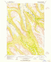
1954 · Kodiak C-5
USGS Topo · 1:63,360
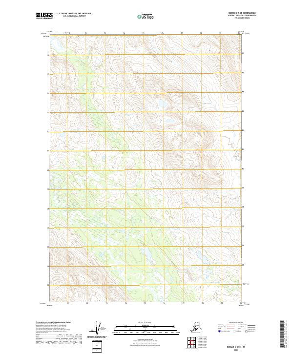
2021 · Kodiak C-5 SE
USGS Topo · 1:25,000