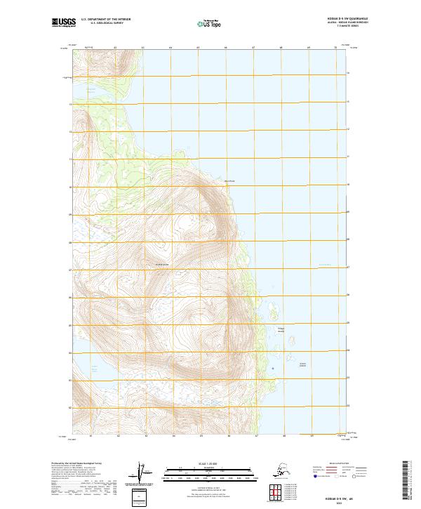
2021 Map of Kodiak D-5 SW
USGS Topo · Published 2021About this map
Kodiak Island dominates this 2021 topographic survey, revealing a landscape defined by dramatic elevation changes and a highly irregular coastline. The western edge of the island faces the open waters, punctuated by West Point and the complex shoreline of Uganik Bay. This modern survey by the U.S. Geological Survey provides precise contour data for the steep ridges that overlook tidal features like Campbell Lagoon in the north and Little River Lake further south.
Find a feature on this map
13 named features on this map. Tap any name to fly to it.
Don’t see what you’re looking for? This feature index may not catch every label — zoom into the map to look around manually.
Map Details
Editions of this 2021 Kodiak D-5 SW Map
This is the sole edition of this map. No revisions or reprints were ever made.
Other maps of this area

1951 · Kodiak D-6
USGS Topo · 1:63,360

1952 · Kodiak
USGS Topo · 1:250,000

1952 · Kodiak C-5
USGS Topo · 1:63,360

1952 · Kodiak D-5
USGS Topo · 1:63,360

1952 · Kodiak C-6
USGS Topo · 1:63,360
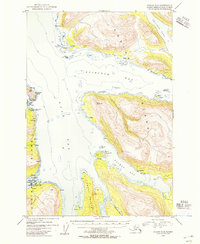
1954 · Kodiak C-6
USGS Topo · 1:63,360
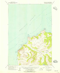
1954 · Kodiak D-6
USGS Topo · 1:63,360
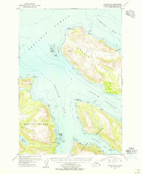
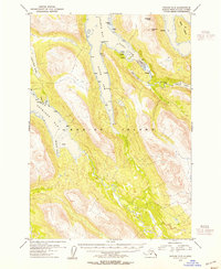
1954 · Kodiak D-5
USGS Topo · 1:63,360
1954 · Kodiak C-5
USGS Topo · 1:63,360
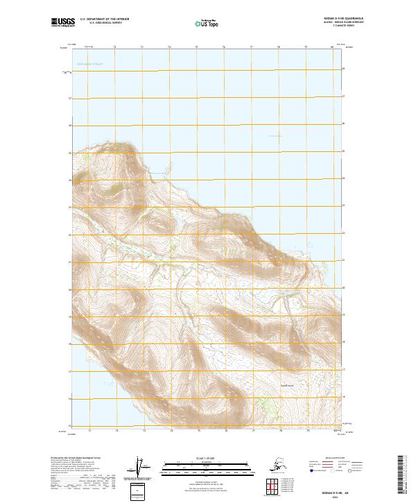
2021 · Kodiak D-5 NE
USGS Topo · 1:25,000