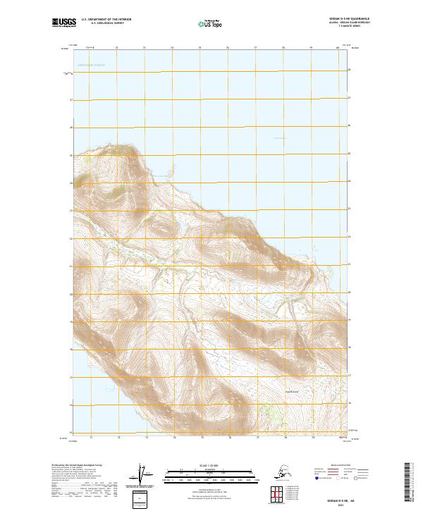
2021 Map of Kodiak D-5 NE
USGS Topo · Published 2021About this map
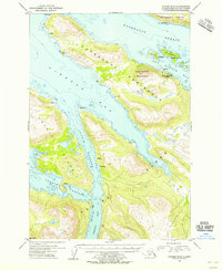
Uganik Island dominates this coastal landscape on the western edge of the Kodiak archipelago. The terrain is defined by steep coastal elevations rising directly from the waters of Shelikof Strait, where the shoreline is deeply indented by maritime features like Horseshoe Bay and the northern reaches of Viekoda Bay. This 2021 survey illustrates the complex relationship between the high ridge lines and the sea, capturing a wilderness area largely shaped by natural contours rather than human infrastructure. The presence of Public Land Survey System boundaries, including t26s r26w, provides a framework for understanding land tenure in this remote portion of the Kodiak Island Borough, where the maritime environment remains the primary geographic influence.
Find a feature on this map
8 named features on this map. Tap any name to fly to it.
Don’t see what you’re looking for? This feature index may not catch every label — zoom into the map to look around manually.
Map Details
Editions of this 2021 Kodiak D-5 NE Map
This is the sole edition of this map. No revisions or reprints were ever made.
Other maps of this area

1952 · Kodiak
USGS Topo · 1:250,000

1952 · Afognak
USGS Topo · 1:250,000

1952 · Afognak A-4
USGS Topo · 1:63,360

1952 · Kodiak D-5
USGS Topo · 1:63,360
1952 · Afognak A-5
USGS Topo · 1:63,360

1952 · Kodiak D-4
USGS Topo · 1:63,360

1953 · Afognak A-4
USGS Topo · 1:63,360
1953 · Afognak A-5
USGS Topo · 1:63,360
1954 · Kodiak D-5
USGS Topo · 1:63,360
1954 · Kodiak D-4
USGS Topo · 1:63,360