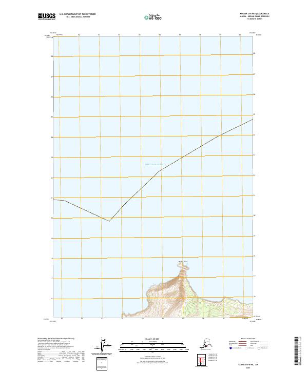
2021 Map of Kodiak D-6 NE
USGS Topo · Published 2021About this map
Shelikof Strait dominates this coastal survey, where the waters of the Gulf of Alaska meet the northwestern shores of Kodiak Island. The map focuses on a largely maritime environment, defined by the expansive waterway that separates the island from the Alaska Peninsula. Landfall occurs only in the southern portion of the quadrangle, where the terrain rises sharply at Miners Point. This prominent coastal feature serves as a primary navigational landmark along an otherwise open stretch of shoreline. The transition from the deep waters of the strait to the steep, contoured elevations at the coast highlights the maritime orientation of this region, which remains primarily defined by its natural geography rather than human settlement or infrastructure.
Find a feature on this map
4 named features on this map. Tap any name to fly to it.
Don’t see what you’re looking for? This feature index may not catch every label — zoom into the map to look around manually.
Map Details
Editions of this 2021 Kodiak D-6 NE Map
This is the sole edition of this map. No revisions or reprints were ever made.
Other maps of this area

1951 · Kodiak D-6
USGS Topo · 1:63,360

1952 · Kodiak
USGS Topo · 1:250,000

1952 · Afognak
USGS Topo · 1:250,000

1952 · Kodiak D-5
USGS Topo · 1:63,360
1952 · Afognak A-5
USGS Topo · 1:63,360
1953 · Afognak A-5
USGS Topo · 1:63,360
1954 · Kodiak D-6
USGS Topo · 1:63,360
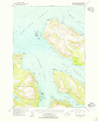
1954 · Kodiak D-5
USGS Topo · 1:63,360
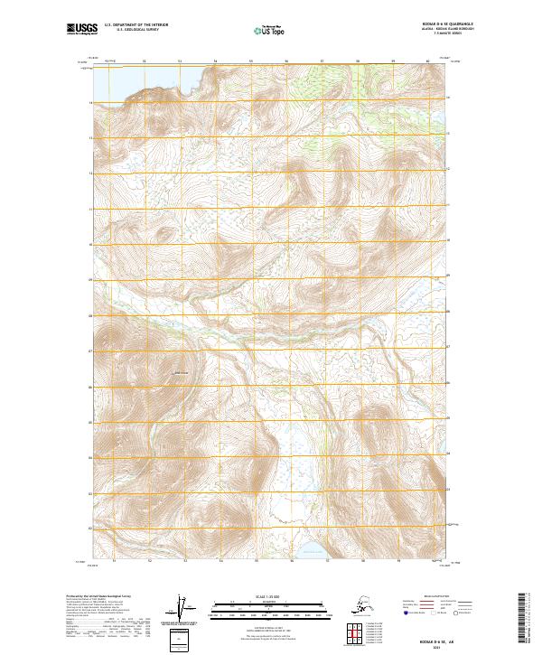
2021 · Kodiak D-6 SE
USGS Topo · 1:25,000
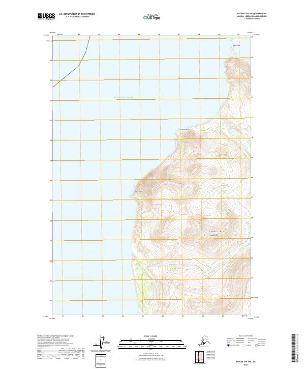
2021 · Kodiak D-6 SW
USGS Topo · 1:25,000