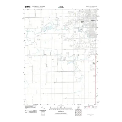
2010 Map of Kokomo West
USGS Topo · Published 2010About this map
Kokomo and its western outskirts appear in this 2010 survey, showing the transition from the city’s residential grid to the rural landscapes of Howard County. The confluence of several local waterways, including Wildcat Creek, Kokomo Creek, and Little Wildcat Creek, dictates the layout of suburban expansion and agricultural divisions. Industrial and logistical infrastructure is represented by Shambaugh Siding and two local airstrips, Glenndale Airport and Ruzicka Airport, which serve the region's aviation needs beyond the primary city limits.
Find a feature on this map
70 named features on this map. Tap any name to fly to it.
Don’t see what you’re looking for? This feature index may not catch every label — zoom into the map to look around manually.
Map Details
Editions of this 2010 Kokomo West Map
This is the sole edition of this map. No revisions or reprints were ever made.
Other maps of this area

1953 · Danville
USGS Topo · 1:250,000

1955 · Danville
USGS Topo · 1:250,000

1956 · Danville
USGS Topo · 1:250,000

1959 · Galveston
USGS Topo · 1:24,000

1959 · Miami
USGS Topo · 1:24,000

1959 · Young America
USGS Topo · 1:24,000

1960 · Kokomo West
USGS Topo · 1:24,000

1960 · Kokomo East
USGS Topo · 1:24,000

1960 · Kempton
USGS Topo · 1:24,000

1960 · Tipton
USGS Topo · 1:24,000