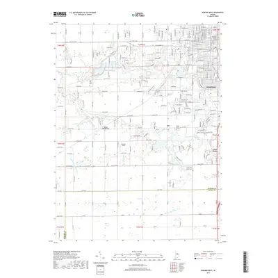
2019 Map of Kokomo West
USGS Topo · Published 2019About this map
Wildcat Creek and Kokomo Creek converge near the heart of this Howard County landscape, defining the drainage patterns that shaped the expansion of Kokomo. The western suburban growth is visible through the residential street grids of Indian Heights and the smaller settlement of Alto. Historically significant burial sites such as Twin Springs Cem and the Sunset Memory Gardens provide clear points of interest for genealogists tracing local families.
Find a feature on this map
34 named features on this map. Tap any name to fly to it.
Don’t see what you’re looking for? This feature index may not catch every label — zoom into the map to look around manually.
Map Details
Editions of this 2019 Kokomo West Map
This is the sole edition of this map. No revisions or reprints were ever made.
Other maps of this area

1953 · Danville
USGS Topo · 1:250,000

1955 · Danville
USGS Topo · 1:250,000

1956 · Danville
USGS Topo · 1:250,000

1959 · Galveston
USGS Topo · 1:24,000

1959 · Miami
USGS Topo · 1:24,000

1959 · Young America
USGS Topo · 1:24,000

1960 · Kokomo West
USGS Topo · 1:24,000

1960 · Kokomo East
USGS Topo · 1:24,000

1960 · Kempton
USGS Topo · 1:24,000

1960 · Tipton
USGS Topo · 1:24,000