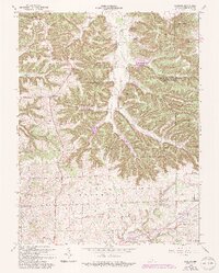
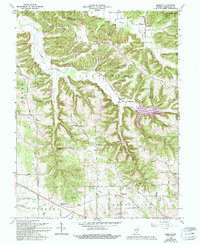
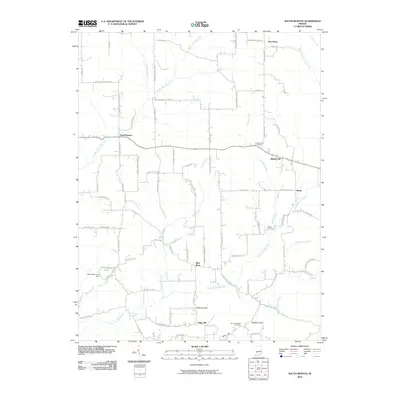
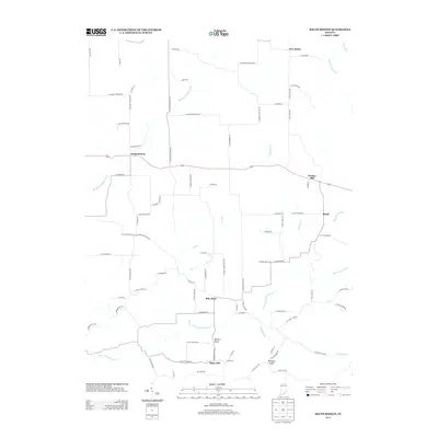
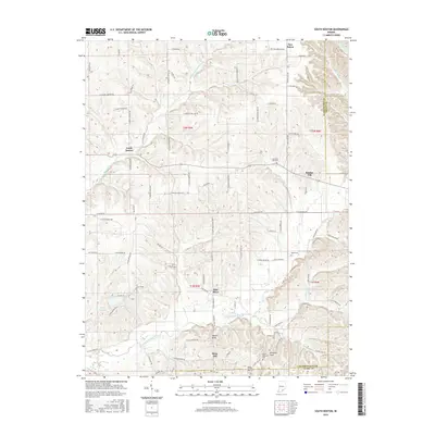
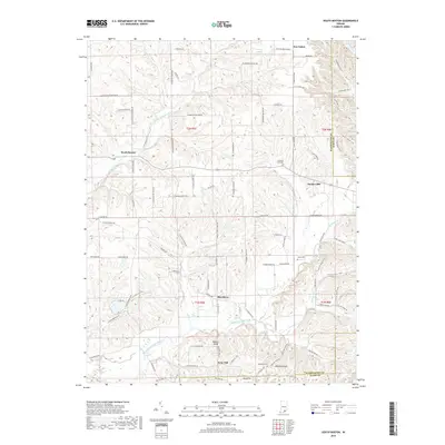
1963 Map of Kossuth
USGS Topo · Published 1965About this map
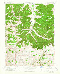
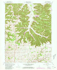
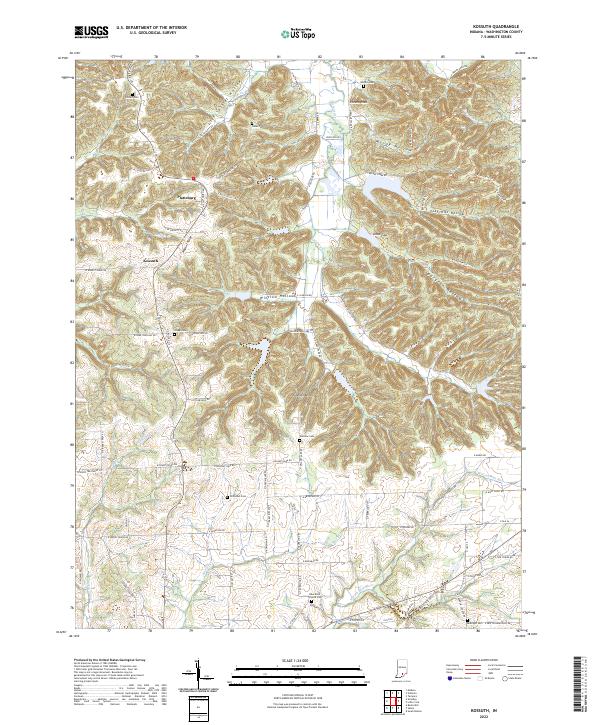
Jackson - Washington State Forest dominates the rugged northern landscape of this quadrangle, where high ridges like Potato Knob and Clay Hill overlook a network of deep hollows. The rural character of Washington County is centered around small crossroads settlements such as Plattsburg and Kossuth, the latter featuring a Township Sch. Life in the mid-20th century followed the contours of the land, with numerous family and community landmarks preserved in the record, including Coffett Cem and Weston Cem. To the south, the terrain softens as it approaches the West Fork Blue River and Brock Creek. This area is punctuated by local centers of worship like West Point Ch and Franklin Ch, near the settlement of Georgetown. A Lookout Tower stands as a sentinel over the wooded hills, marking a period of active forest management and conservation in southern Indiana.
Find a feature on this map
39 named features on this map. Tap any name to fly to it.
Don’t see what you’re looking for? This feature index may not catch every label — zoom into the map to look around manually.
Map Details
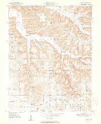
Editions of this 1963 Kossuth Map
3 editions found
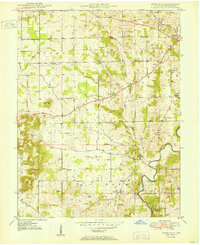
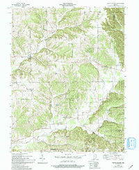
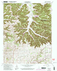
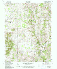
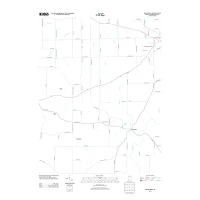
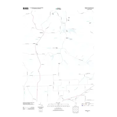
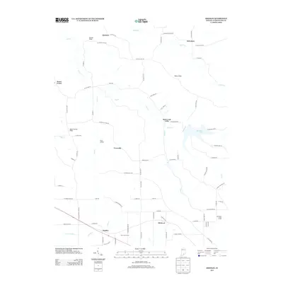
Historical Maps of Plattsburg Through Time
27 maps found
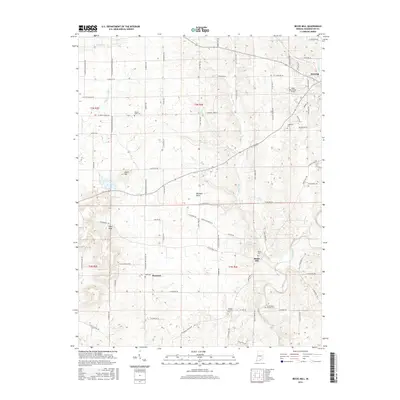
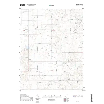
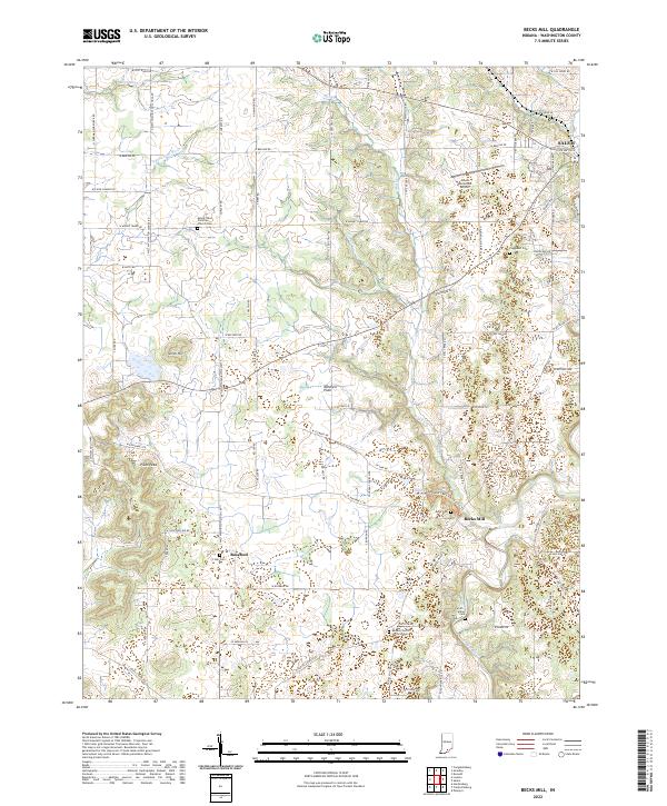
1950 Becks Mill
Washington County, IN
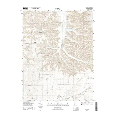
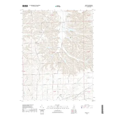
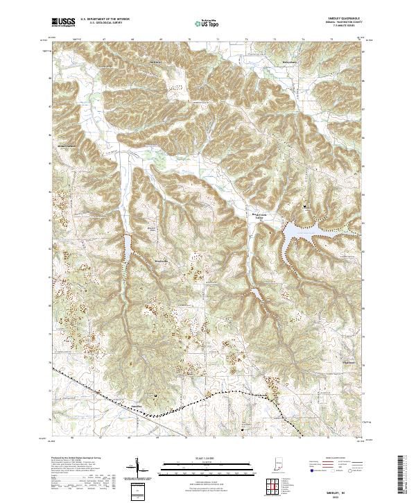
1951 Smedley
Washington County, IN
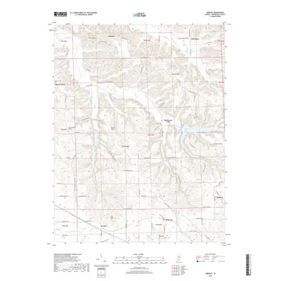
1953 Kossuth
Washington County, IN
1955 South Boston
Washington County, IN
1963 Kossuth
Washington County, IN
1966 Becks Mill
Washington County, IN
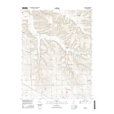
1966 Smedley
Washington County, IN
2010 Becks Mill
Washington County, IN
2010 Kossuth
Washington County, IN
2010 Smedley
Washington County, IN
2010 South Boston
Washington County, IN
2013 Becks Mill
Washington County, IN
2013 Kossuth
Washington County, IN
2013 Smedley
Washington County, IN
2013 South Boston
Washington County, IN
2016 Becks Mill
Washington County, IN
2016 Kossuth
Washington County, IN
2016 Smedley
Washington County, IN
2016 South Boston
Washington County, IN
2019 Becks Mill
Washington County, IN
2019 Kossuth
Washington County, IN
2019 Smedley
Washington County, IN
2019 South Boston
Washington County, IN
2022 Becks Mill
Washington County, IN
2022 Kossuth
Washington County, IN
2022 Smedley
Washington County, IN
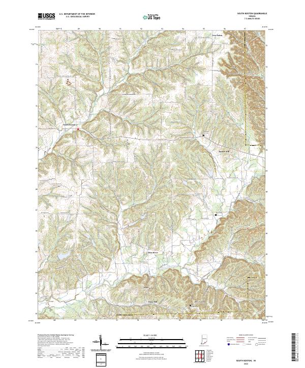
2022 South Boston
Washington County, IN