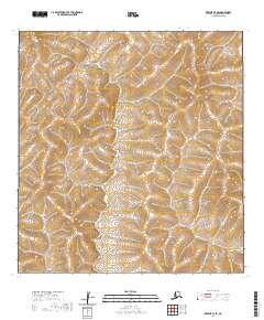
2020 Map of Kwiguk B-3 SE
USGS Topo · Published 2020About this map
Nulato Hills terrain dominates this landscape in the western reaches of Alaska, as surveyed for this 2020 edition. The sheet is largely defined by its natural topography and complex hydrology rather than human settlement, reflecting a remote expanse characterized by the intricate contouring of the Nulato region. The drainage patterns shown here are part of a vast inland system that has historically supported subsistence practices and seasonal movement for the area's indigenous populations. While the map is sparse in terms of modern infrastructure, it provides a precise record of the physical geography and public land survey divisions, including townships t26n r75w and t25n r74w, which are essential for navigating and managing these northern territories.
Find a feature on this map
5 named features on this map. Tap any name to fly to it.
Don’t see what you’re looking for? This feature index may not catch every label — zoom into the map to look around manually.
Map Details
Editions of this 2020 Kwiguk B-3 SE Map
This is the sole edition of this map. No revisions or reprints were ever made.
Other maps of this area

1952 · Kwiguk
USGS Topo · 1:250,000

1952 · Kwiguk B-3
USGS Topo · 1:63,360

1952 · Kwiguk B-2
USGS Topo · 1:63,360

1952 · Kwiguk A-2
USGS Topo · 1:63,360

1952 · Kwiguk A-3
USGS Topo · 1:63,360
2018 · Kwiguk B-2 SW
USGS Topo · 1:25,000
2018 · Kwiguk A-2 NW
USGS Topo · 1:25,000
2018 · Kwiguk B-2 NW
USGS Topo · 1:25,000
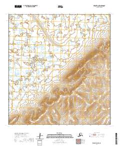
2020 · Kwiguk B-3 NW
USGS Topo · 1:25,000
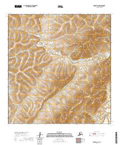
2020 · Kwiguk A-3 NE
USGS Topo · 1:25,000