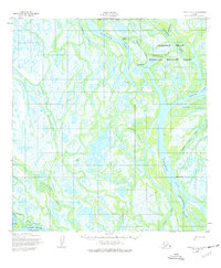
1952 Map of Kwiguk D-5
USGS Topo · Published 1977About this map
Kwikpak Pass and the Yukon River define this complex delta landscape, where a dense network of sloughs and channels weave through the Clarence Rhode National Wildlife Range. The map documents a period of native Alaskan settlement along these waterways, identifying active locations such as Kwiguk, Choolunawick, and Kawanak. A designated Tuchiak (Site) suggests a former habitation point, while names like Taksakwiwik and Kravaksarak mark specific points of interest for local history and genealogy research along the banks. The presence of a Winter Trail cutting across the marshy terrain underscores the seasonal nature of travel and transport in the region during the early 1950s. This survey, mapped by the Army Map Service and annotated in 1952, provides a precise record of the shifting hydrological features including Little Apoon Pass and Bugomowik Pass before later revisions.
Find a feature on this map
30 named features on this map. Tap any name to fly to it.
Don’t see what you’re looking for? This feature index may not catch every label — zoom into the map to look around manually.
Map Details
Editions of this 1952 Kwiguk D-5 Map
3 editions found
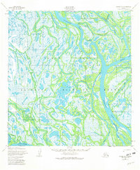
Other maps of this area

1951 · St Michael
USGS Topo · 1:250,000

1952 · Kwiguk
USGS Topo · 1:250,000

1952 · Saint Michael A-5
USGS Topo · 1:63,360
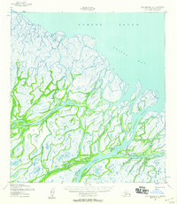
1952 · Saint Michael A-4
USGS Topo · 1:63,360
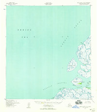
1952 · Saint Michael A-6
USGS Topo · 1:63,360

1952 · Kwiguk C-6
USGS Topo · 1:63,360

1952 · Kwiguk C-4
USGS Topo · 1:63,360

1952 · Kwiguk D-6
USGS Topo · 1:63,360

1952 · Kwiguk C-5
USGS Topo · 1:63,360

1952 · Kwiguk D-5
USGS Topo · 1:63,360