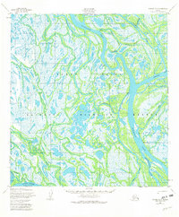
1952 Map of Kwiguk D-5
USGS Topo · Published 1982About this map
Kawanak Pass and a labyrinth of interconnected waterways dominate this section of the Yukon Delta during the early 1950s. The landscape is defined by the shifting drainage patterns of the Yukon River (Kwikluak Pass), where braided channels like Kwikpak Slough and Naringolapak Slough carve through marshy terrain. Small seasonal or traditional settlements such as Kawanak, Choolunawick, and Tuchiak appear along the banks, illustrating the river-dependent nature of life in this region. This portion of the National Wildlife Refuge showcases the complex hydrology of the delta, including a Winter Trail that provides overland passage when the wetlands freeze. The map provides a detailed look at the intricate sloughs and passes, such as Aproka Pass and Chinikluk Slough, which were essential for navigation before more modern transport reached the area.
Find a feature on this map
22 named features on this map. Tap any name to fly to it.
Don’t see what you’re looking for? This feature index may not catch every label — zoom into the map to look around manually.
Map Details
Editions of this 1952 Kwiguk D-5 Map
3 editions found
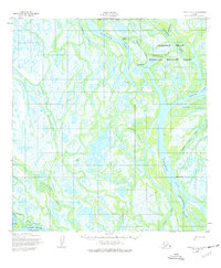
Other maps of this area

1951 · St Michael
USGS Topo · 1:250,000

1952 · Kwiguk
USGS Topo · 1:250,000

1952 · Saint Michael A-5
USGS Topo · 1:63,360
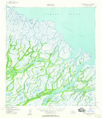
1952 · Saint Michael A-4
USGS Topo · 1:63,360
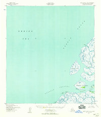
1952 · Saint Michael A-6
USGS Topo · 1:63,360

1952 · Kwiguk C-6
USGS Topo · 1:63,360

1952 · Kwiguk C-4
USGS Topo · 1:63,360

1952 · Kwiguk D-6
USGS Topo · 1:63,360

1952 · Kwiguk C-5
USGS Topo · 1:63,360

1952 · Kwiguk D-5
USGS Topo · 1:63,360