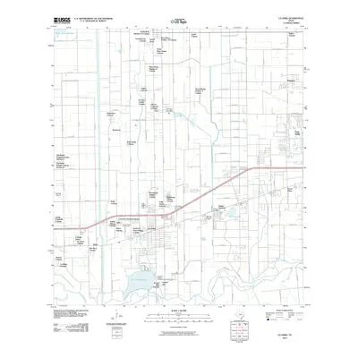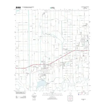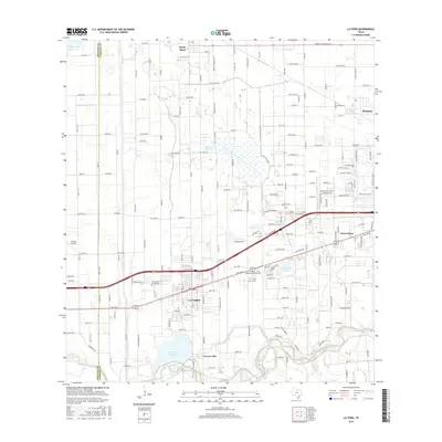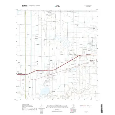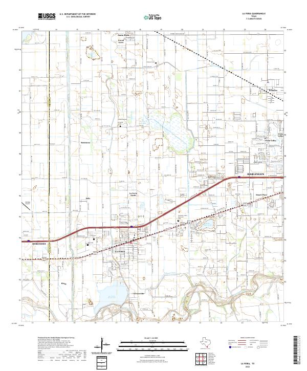
2002 Map of La Feria
USGS Topo · Published 2003About this map
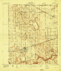
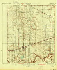
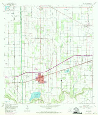
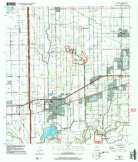
The irrigation and drainage infrastructure of the Lower Rio Grande Valley dominates this landscape around La Feria and Santa Rosa. A complex network of ditches and elevated canals supports the region's agricultural character, punctuated by the Lower Rio Grande Valley National Wildlife Refuge which preserves the native environment along the Arroyo Colorado. Local history is anchored by several educational and civic landmarks, including the William B Green Sch, Sam Houston Sch, and the Roosevelt Sch clustered in the town center.
Find a feature on this map
48 named features on this map. Tap any name to fly to it.
Don’t see what you’re looking for? This feature index may not catch every label — zoom into the map to look around manually.
Map Details
Editions of this 2002 La Feria Map
This is the sole edition of this map. No revisions or reprints were ever made.
Historical Maps of Harlingen Through Time
9 maps found