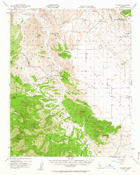
1952 Map of La Panza
USGS Topo · Published 1963About this map
French Camp and La Panza Ranch anchor this landscape along the eastern edge of the Santa Lucia Range, where the drainages of San Juan Creek and Navajo Creek carve through the arid terrain. This mid-century view reflects a ranching and early resource economy, documented through a series of springs and windmills scattered across the hills. The southern portion of the map is dominated by the dense topography of the Los Padres National Forest, rising toward peaks like Machesna Mtn and Pine Mountain. Along the eastern border, the Temblor Range marks the boundary with Kern County. A lone Radio Telephone Sta and an Oil Well (Aband) near Freeborn Mtn point to the technological and industrial footprint of the early 1950s within this rural backcountry.
Find a feature on this map
45 named features on this map. Tap any name to fly to it.
Don’t see what you’re looking for? This feature index may not catch every label — zoom into the map to look around manually.
Map Details
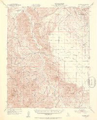
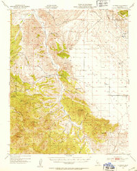
Editions of this 1952 La Panza Map
3 editions found
Other maps of this area

1912 · McKittrick
USGS Topo · 1:125,000

1914 · Lost Hills
USGS Topo · 1:125,000

1914 · Cholame
USGS Topo · 1:125,000

1915 · Cholame
USGS Topo · 1:125,000

1917 · Cholame
USGS Topo · 1:125,000

1922 · Pozo
USGS Topo · 1:62,500

1922 · Nipomo
USGS Topo · 1:62,500

1932 · La Panza
USGS Topo · 1:48,000

1935 · La Panza
USGS Topo · 1:62,500

1936 · La Panza
USGS Topo · 1:62,500